Buenavista del Norte · What to see
Casco histórico de Buenavista del Norte
The last village on the north coast before the Teno massif, founded in the 16th century, with a grid of straight streets and houses of even height declared a Site of Cultural Interest (BIC) in 2005. The walk centres on the church of Nuestra Señora de los Remedios, restored after a fire in 1996, and its square, then takes in the Casa de la Viuda, the former convent of San Francisco, the San Sebastián chapel and the old wash-houses in the Triana ravine. A stroll round the old town takes about an hour and a half.
- 20 min · 15.7 kmFrom Icod old town
- Half a dayIt takes
- Buenavista del NorteMunicipality
- No record that it is neededBooking
28.3718° N · 16.8516° O
Checked 2026-10-24· official source
01Practical details
- BIC declaration (historic ensemble)
- 2005
- Church of Nuestra Señora de los Remedios
- built 1513–1518; fire in 1996; restored and open to the public
- Casa de la Viuda
- second half of the 17th century; El Puerto, 63
- San Sebastián chapel
- 16th century, rebuilt in the 19th century
- Old town walk
- an hour and a half, from the San Francisco convent to the Triana bridge
- Inhabitants
- five thousand
see source 1 ↗see source 2 ↗see source 3 ↗see source 4 ↗see source 5 ↗see source 6 ↗see source 7 ↗
03Around
What you have nearby
Ordered by real distance between coordinates, not by our preference.
Playa de Las Arenas
A 150-metre pebble and black-sand beach in Buenavista del Norte, on the road towards Punta de Teno next to the golf course. The sand comes and goes with the seasons: winter tides strip it away and summer brings it back. There is ample parking and a municipal pool beside it.
Charco Roque
A rock pool on the Buenavista del Norte coast, between Las Arenas and El Fraile beaches, popular with locals in summer. Mid tide is the best time to go. There is no lifeguard and the swell is moderate.
PR-TF 55 El Palmar – Los Silos (por Talavera)
A cobbled path that once climbed from Los Silos to the hamlet of Talavera and now continues to the El Palmar valley. It sets off from La Pina, steepens on the Lomo de Los Cardones ridge with views of the Isla Baja coast, and reaches the abandoned houses of Talavera, which look out over Monte del Agua, the El Palmar valley and the Baracán ridge. It ends at Plaza de Las Libreas in El Palmar.
Los Silos
A north-western village at the foot of the Teno massif, sheltered by Aregume mountain, whose old centre is protected as a Conjunto Histórico. Cobbled streets lead to Plaza de la Luz, with its 1923 bandstand, the church of Nuestra Señora de la Luz and the former convent of San Sebastián, now a library, exhibition room and visitor centre. Several Teno Rural Park trails start here, and it is home to the International Storytelling Festival.
Plans
Plans that pass through here
Experiences and itineraries that share places with this page.
- DayA day through the villages of the Isla BajaThe listed old quarters of Los Silos and Buenavista, El Tanque's 1728 church, a viewpoint over the Isla Baja, a rock pool and Garachico on the way back.
- PlanGarachico at duskThe town once the coaches leave: a walk through the listed old quarter, the seafront with the pools below, and dinner at one of its twenty-nine restaurants.
- PlanA glass of wine before heading backA winery of the Ycoden-Daute-Isora DO with a booked visit, the wine museum on Plaza de la Pila and dinner in the old town. Wine afternoon, ten minutes away.
- PlanA slow-breakfast morningThe only breakfast in the district with published hours, Garachico's farmers' market on a Sunday, and back to the house with the shopping. No hurry.
Official sourceChecked on Next check
Finca Julia · Icod de los Vinos
And at the end of the day,
the terrace.
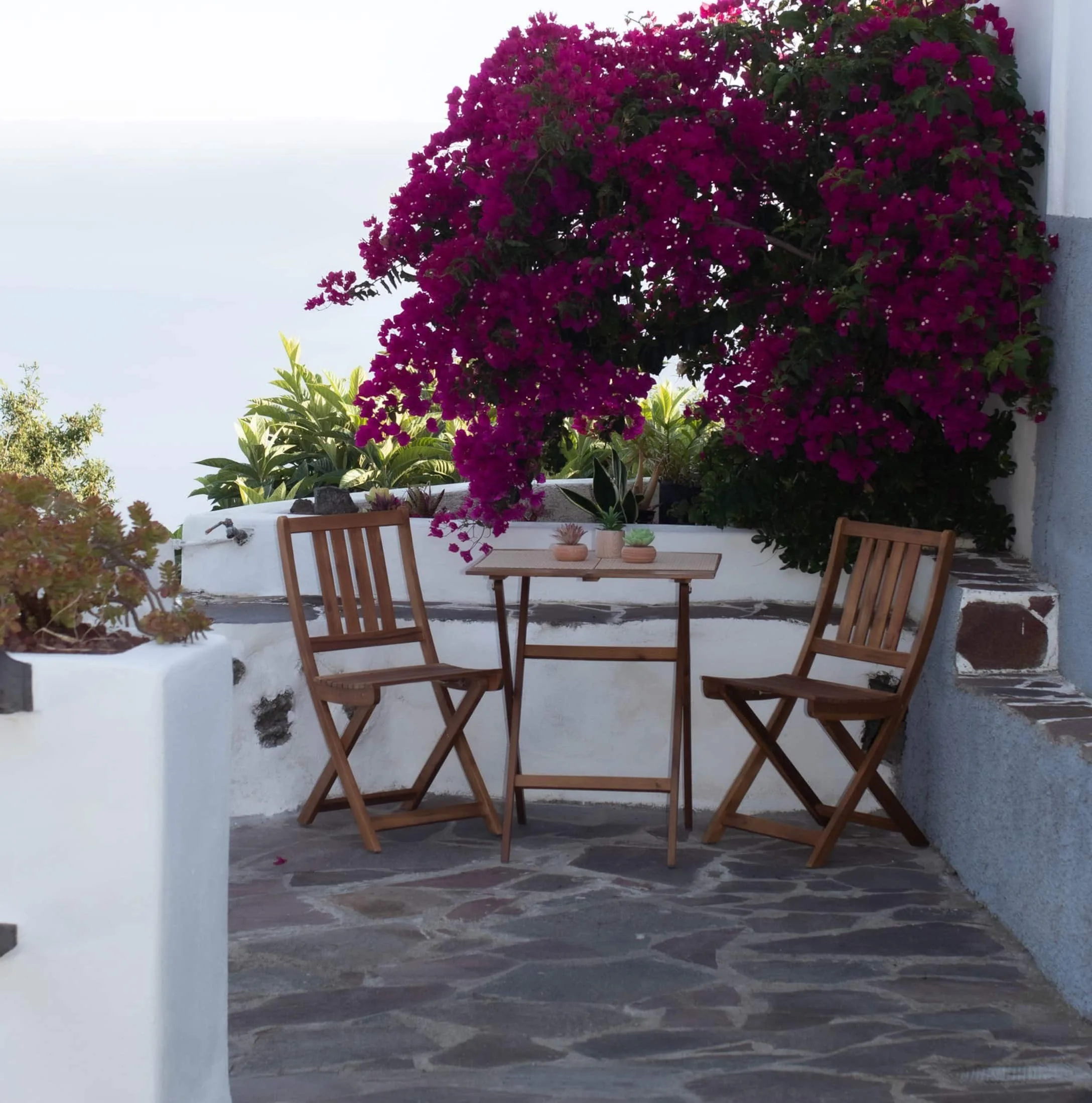
An old Canarian house on the hillside, with the Atlantic in front. Availability and price are on the official Airbnb listing.