Los Silos · What to see
Los Silos
A north-western village at the foot of the Teno massif, sheltered by Aregume mountain, whose old centre is protected as a Conjunto Histórico. Cobbled streets lead to Plaza de la Luz, with its 1923 bandstand, the church of Nuestra Señora de la Luz and the former convent of San Sebastián, now a library, exhibition room and visitor centre. Several Teno Rural Park trails start here, and it is home to the International Storytelling Festival.
- 17 min · 12.2 kmFrom Icod old town
- Half a dayIt takes
- Los SilosMunicipality
- No record that it is neededBooking
28.3656° N · 16.8174° O
Checked 2026-10-24· official source
01Practical details
- Protection
- Conjunto Histórico (historic ensemble)
- Church of Nuestra Señora de la Luz
- 16th century; parish since 1605
- Former convent of San Sebastián (Bernardine nuns)
- founded in 1649; declared a Historic-Artistic Monument
- Plaza de la Luz
- remodelled in 1923 (central bandstand)
- Town hall
- Casa de los Trujillos
- Highest point of the municipality
- Piedras Altas, 1,273 m
- Farmers' market
- Sundays, 9 am to 2 pm
see source 1 ↗see source 2 ↗see source 3 ↗see source 4 ↗see source 5 ↗
03Around
What you have nearby
Ordered by real distance between coordinates, not by our preference.
PR-TF 54 Los Silos – Erjos (Las Moradas)
A linear route from Erjos to Los Silos that starts along the Monte del Agua forest track through laurel woodland and, after 4 km, turns off to drop to Las Moradas Altas with views over the cloud forest. It descends on the cobbled remains of an old royal road to Las Moradas Bajas, an abandoned hamlet, and ends at the church square in Los Silos.
PR-TF 55 El Palmar – Los Silos (por Talavera)
A cobbled path that once climbed from Los Silos to the hamlet of Talavera and now continues to the El Palmar valley. It sets off from La Pina, steepens on the Lomo de Los Cardones ridge with views of the Isla Baja coast, and reaches the abandoned houses of Talavera, which look out over Monte del Agua, the El Palmar valley and the Baracán ridge. It ends at Plaza de Las Libreas in El Palmar.
Charco Los Chochos
A seawater pool on the Los Silos coast, next to Charco de La Araña, reached by a stone staircase with a handrail. It has a sunbathing area and is about two metres deep at its deepest point, with clear water for swimming and snorkelling. Usable all year when the sea allows, best at low tide.
PR-TF 53 Los Silos – Erjos (por Cuevas Negras)
A linear trail from Erjos down the Cuevas Negras ravine to the church square in Los Silos. It starts in the laurel forest of Monte del Agua and follows an old royal road, still cobbled in places, that once linked Los Silos with Santiago del Teide. It passes the hamlet of Cuevas Negras and crosses two wooden footbridges before reaching the square. The route is mostly downhill, with around 1,500 m of cumulative descent.
Plans
Plans that pass through here
Experiences and itineraries that share places with this page.
- DayA day through the villages of the Isla BajaThe listed old quarters of Los Silos and Buenavista, El Tanque's 1728 church, a viewpoint over the Isla Baja, a rock pool and Garachico on the way back.
- PlanGarachico at duskThe town once the coaches leave: a walk through the listed old quarter, the seafront with the pools below, and dinner at one of its twenty-nine restaurants.
- PlanA glass of wine before heading backA winery of the Ycoden-Daute-Isora DO with a booked visit, the wine museum on Plaza de la Pila and dinner in the old town. Wine afternoon, ten minutes away.
- PlanA slow-breakfast morningThe only breakfast in the district with published hours, Garachico's farmers' market on a Sunday, and back to the house with the shopping. No hurry.
Official sourceChecked on Next check
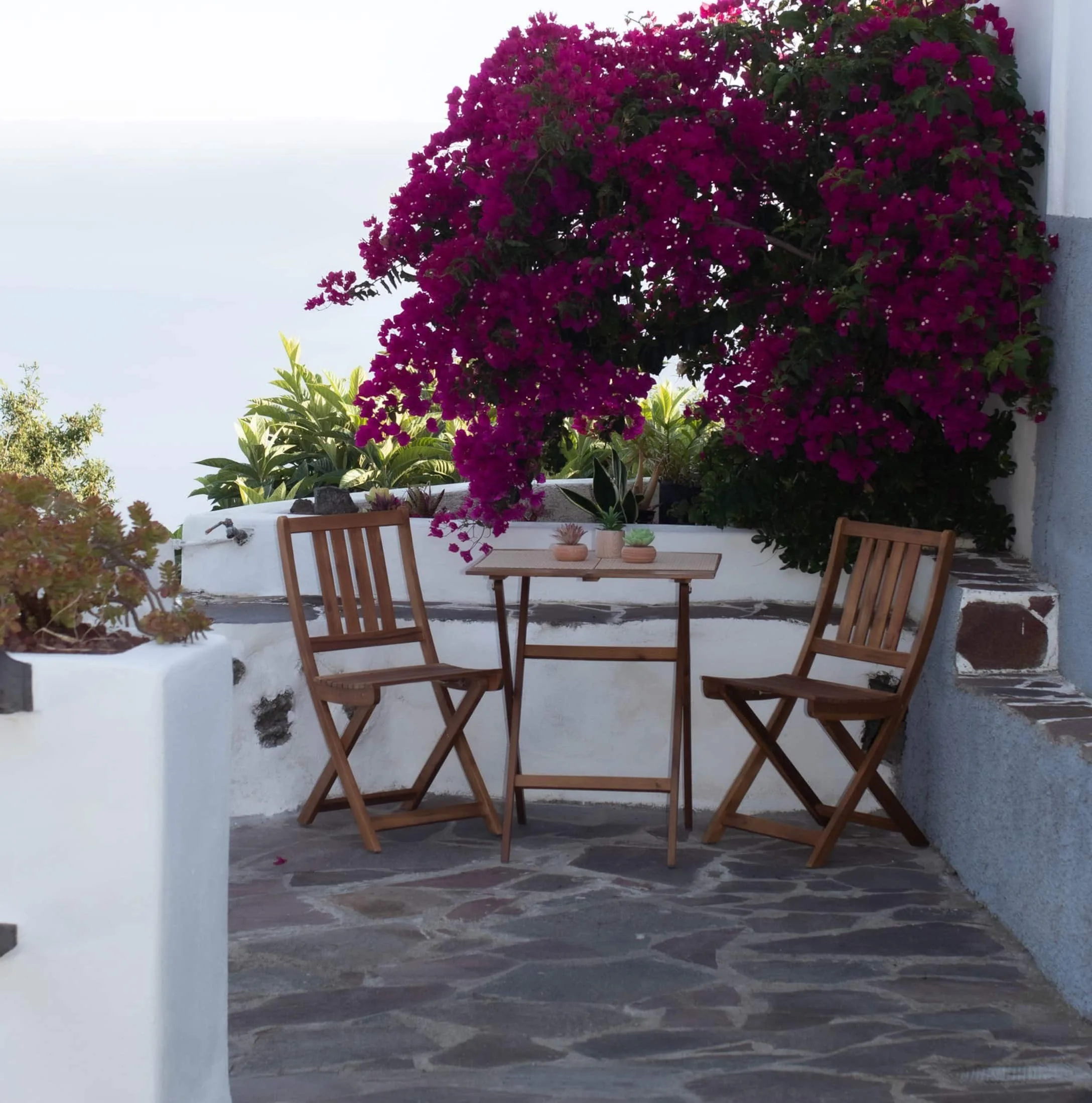
Finca Julia · Icod de los Vinos
And at the end of the day,
the terrace.
An old Canarian house on the hillside, with the Atlantic in front. Availability and price are on the official Airbnb listing.