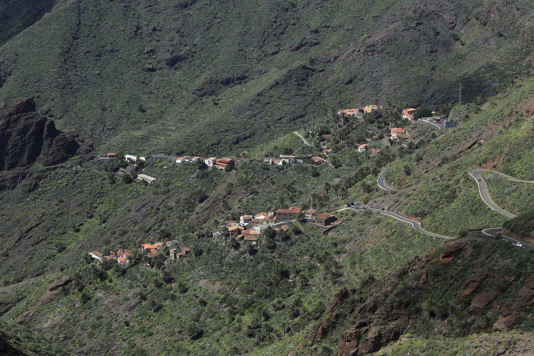
Camino del Barranco de Masca
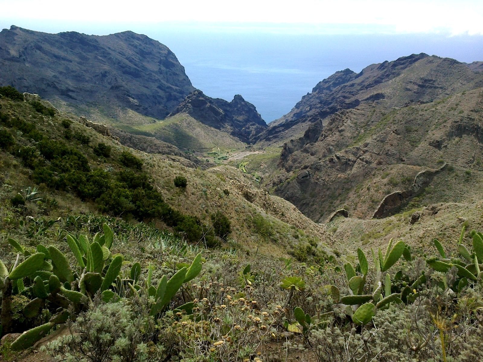
A one-way 5 km descent, around four hours, through a deep ravine to the jetty, with a compulsory boat back. Hard going, uneven ground and steps.
11 checked places
From Icod you can reach the Anaga laurel forest, the Chinyero lava field and the Teide cone in the same day. Three worlds and three very different levels.
First, because it causes the most trouble: several of Tenerife's best-known trails need advance booking and have daily quotas. Access to the Teide summit from La Rambleta requires a free, named National Park permit. The Masca gorge path is booked in descent slots of twenty-five places every half hour. Barranco del Infierno is booked and paid for. And El Pijaral, in Anaga, needs a Tenerife ON permit with a limited quota that opens on Mondays at seven in the morning.
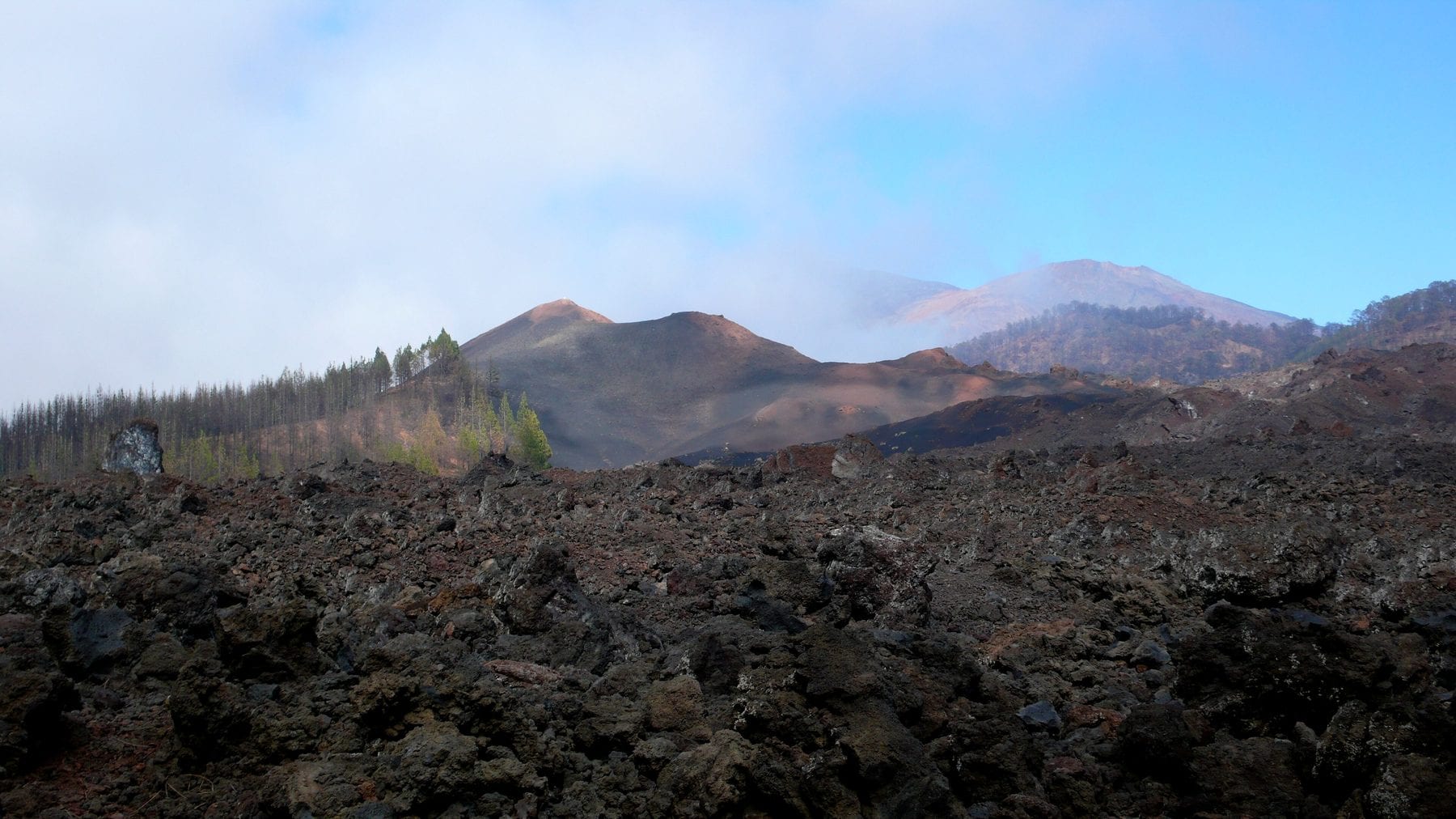
The most manageable trail near the house is Rambla de Castro, in Los Realejos: 4.36 km one-way, low difficulty, no serious climbs, between palm grove and cliff. Nineteen minutes away. The most singular is Chinyero, which crosses the lava of Tenerife's last eruption before 1971: flat, shadeless and very exposed.
We do not publish difficulty ratings or durations that are not on the trail's official record. An “easy” written by eye on an accommodation website is exactly how someone gets into trouble in a ravine.
Places
The minutes are driving time from the Icod old town, computed over OpenStreetMap data. What has no figure carries no number.
11 places
A one-way 5 km descent, around four hours, through a deep ravine to the jetty, with a compulsory boat back. Hard going, uneven ground and steps.
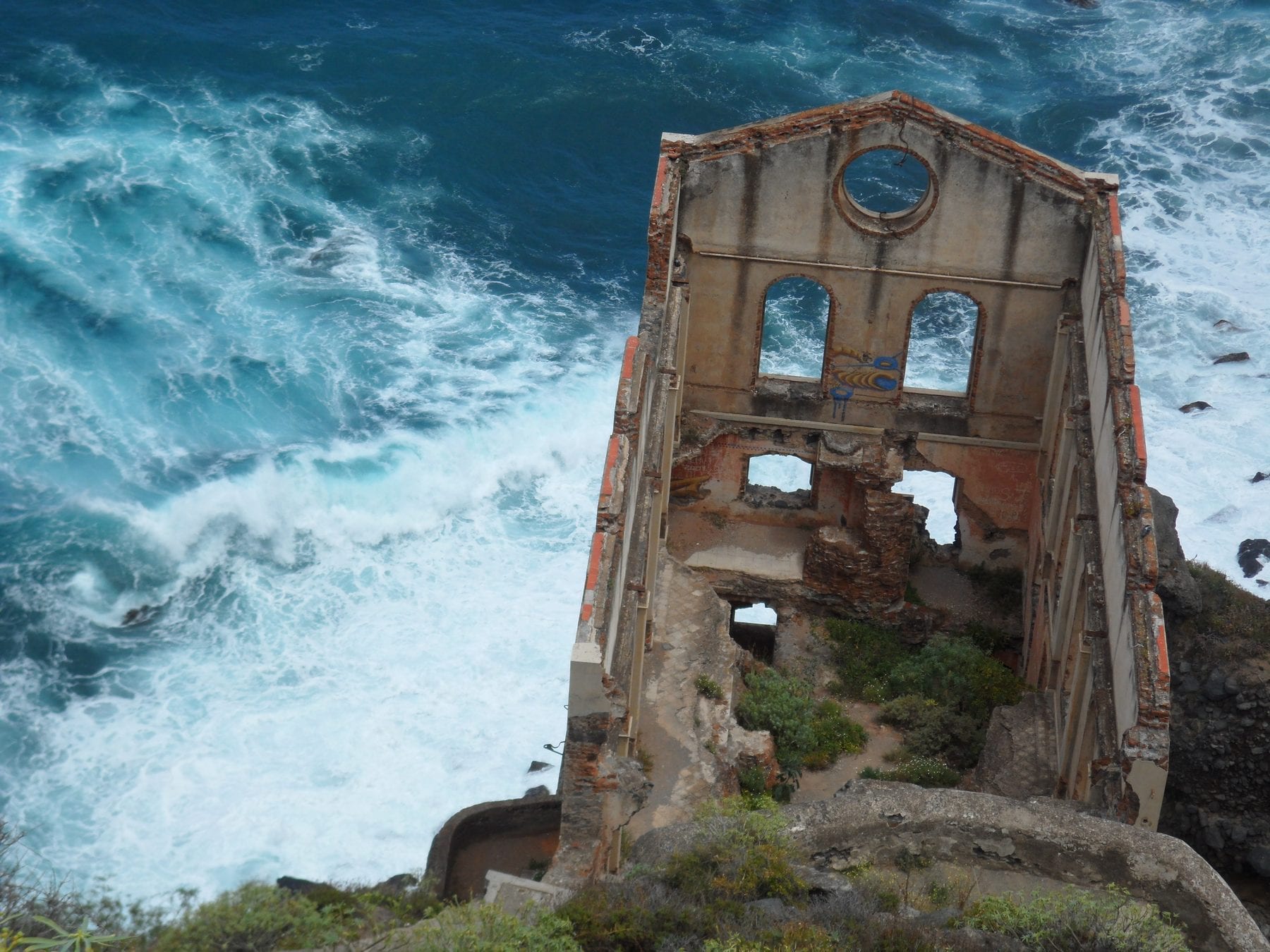
The most rewarding coastal walk in the north: 4.36 km each way, easy going, no serious climbs, through palm groves, cliffs and heritage — the Castro family manor, the San Pedro viewpoint and the ruins of the Gordejuela water lift, home to the first steam engine used to raise water in Tenerife.
The most manageable coastal walk around: short, shaded and by the sea the whole way.
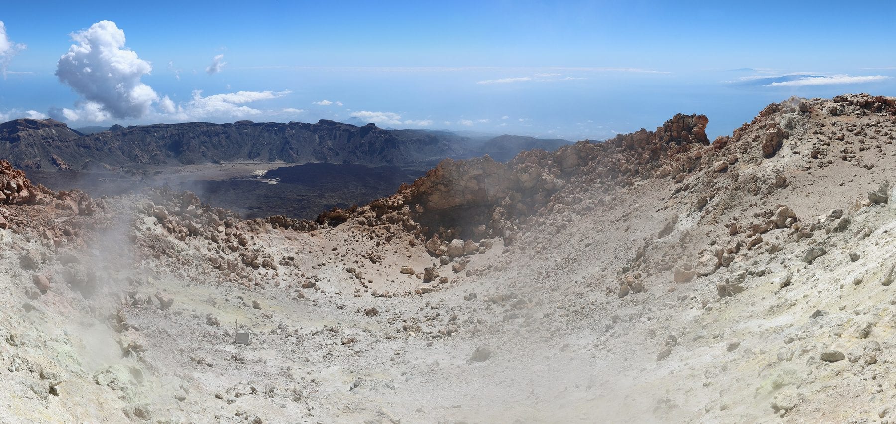
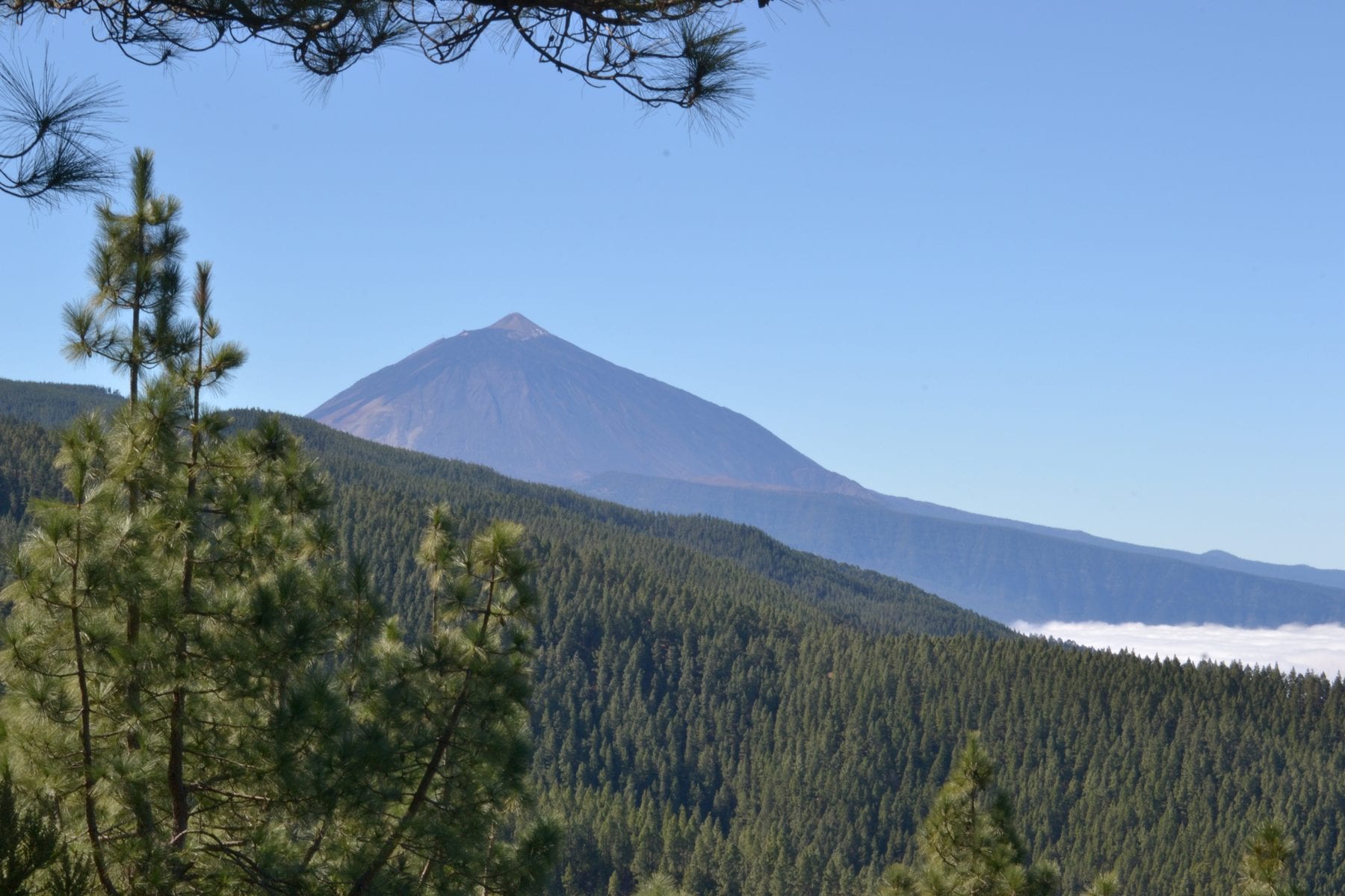
The walk up Teide: 8.29 km from the TF-21 to La Rambleta, 1,309 m of accumulated climb and a finish above 3,500 m. This is the route for anyone who would rather not depend on the cable car, and since 2026 it carries a fee too.
The Narices del Teide traverse: 9.61 km along the rim of Pico Viejo, the vent that opened in the 1798 eruption. It needs a permit like the park's other high trails, but the official page publishes no fee.
2.37 km inside the Monte Aguirre exclusion zone in Anaga. Short and moderate, but the permit is compulsory for everyone, not only for groups: the quota protects the laurel forest and the historic water galleries.
A Special Nature Reserve in Adeje, at the far end of the island: 6.5 km there and back through a watered ravine, about 250 m of climb and roughly three hours. Booking is compulsory, the helmet stays on throughout and entry hours change with the season.
A ravine between San Juan de la Rambla and Los Realejos, a Site of Scientific Interest, where the shift from heath woodland to laurel forest is unusually easy to see. A picnic area with parking sits at the entrance. The closest short, cool stop to Icod along the TF-5.
A picnic area with a short trail in a ravine with water. It works with children and needs no booking.
The site of Tenerife's last eruption, in 1909. The reserve covers 2,739 ha along the Abeque ridge and is an outstanding example of plant colonisation over recent lava fields. A network of PR-TF 43 trails lets you pick your distance.
Tenerife's last eruption before 1971, and you walk over the flow. Flat trail, no shade.
The long, hard version: 18.71 km from Garachico town up to Montaña Chinyero, with 1,810 m of accumulated climb from near sea level. It crosses three protected areas, historic lava flows and pine forest, with views of Teide and Pico Viejo.
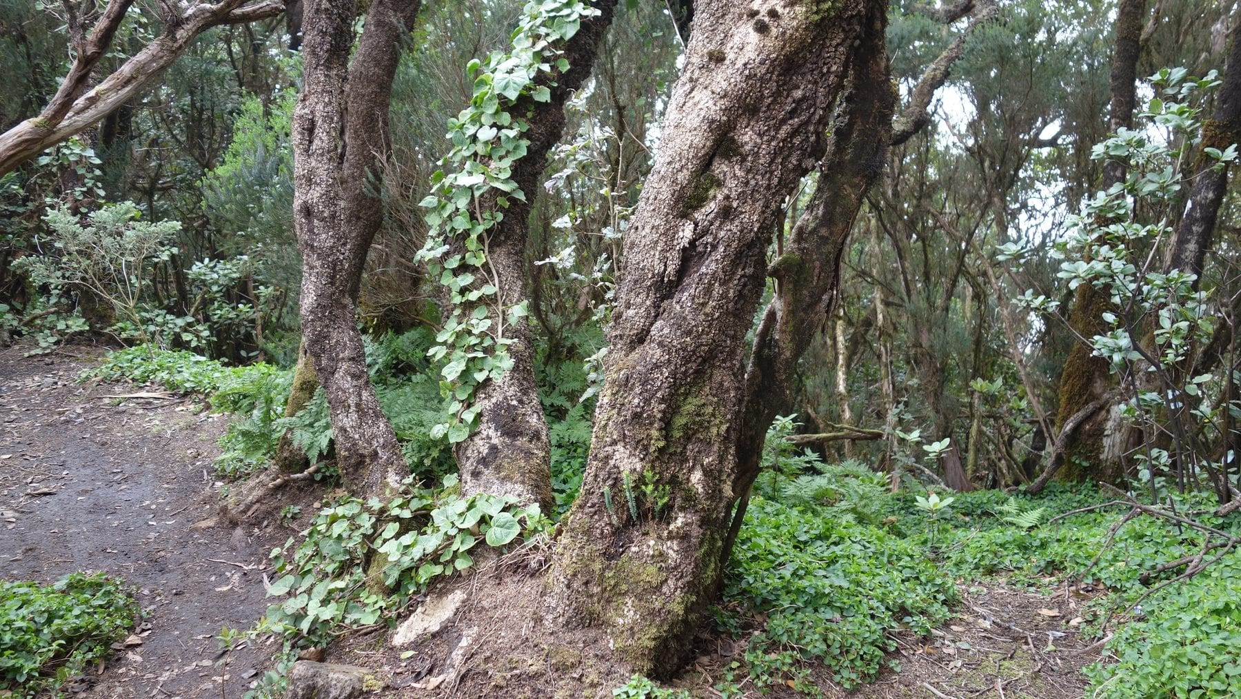
Anaga's famous 'enchanted forest': relict laurel woodland inside the El Pijaral Integral Nature Reserve, with the Cabezo del Tejo viewpoint over Taganana and the north coast. A 6.44 km loop, 2 h 30, moderate.
A loop along the old Camino Real de Chasna to the Los Escurriales viewpoint, where erosion has carved pale tuff into lunar cones. 13.09 km, about five hours and 852 m of accumulated climb, through Canary pine forest.
Nothing matches that filter.
To read slowly
Five real walks within an hour of the house, with official distance, climb and grade. Which need a permit and which do not.
Reviewed on
Ten trails on the island need a permit; the rest are free until 31 December 2026. Which ones, what they cost and when each quota opens.
Reviewed on
This guide is written from a house in Icod, and the house is for rent.
Finca Julia
★ 4,96 · 52 reviews