19 checked places

Nature

Icod is one of twelve municipalities with land inside Teide National Park. In practice that means the summit is an hour from the door.

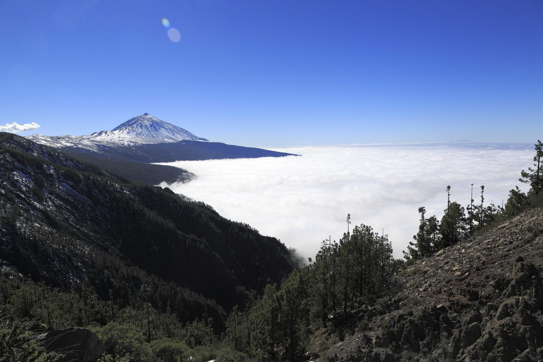
A sea of clouds over northern Tenerife with Teide rising above it
Photo: Falk2 · Wikimedia Commons · CC BY-SA 4.0

North Tenerife packs in three very different protected areas, and all three are day trips from here. Teide National Park is an hour and seven minutes up the TF-21. Anaga Rural Park — a Biosphere Reserve with genuine laurel forest — is fifty-seven minutes by motorway. And the Teno massif, with Punta de Teno and Masca, is a long half-hour west.

There is one thing about the north worth understanding before planning anything: the sea of clouds has a ceiling. Many foggy days down here are sunny days above fifteen hundred metres, and the climb crosses that layer in a quarter of an hour. A grey day in Icod is not a lost day: it is a summit day.

Places

All of them, with the real distance

The minutes are driving time from the Icod old town, computed over OpenStreetMap data. What has no figure carries no number.

19 places

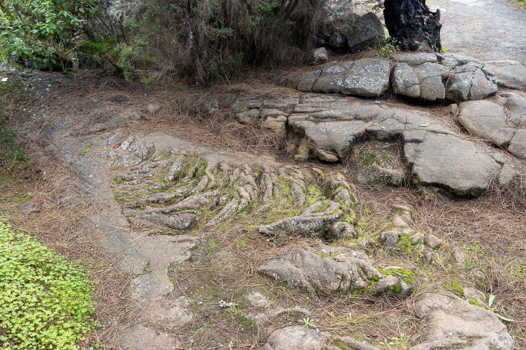
Ropy lava flow in the open above the Cueva del Viento lava tube, in Icod
Photo: Photograph by Mike Peel (www.mikepeel.net). · Wikimedia Commons · CC BY-SA 4.0

Cueva del Viento

Icod de los Vinos · 9 min drive

A lava tube formed some 27,000 years ago by flows from Pico Viejo's first eruptive phase, inside Icod's own municipality. With 18.5 km surveyed according to its official operator, it is the largest in Europe and one of the largest in the world. Visits are guided, with helmet and headlamp, and combine badlands, an old royal path and the underground section.

Europe's largest lava tube is in this municipality. You must book ahead and it is not for everyone, but it is the most singular thing you can do without leaving Icod.
Booking requiredRainy dayEssential
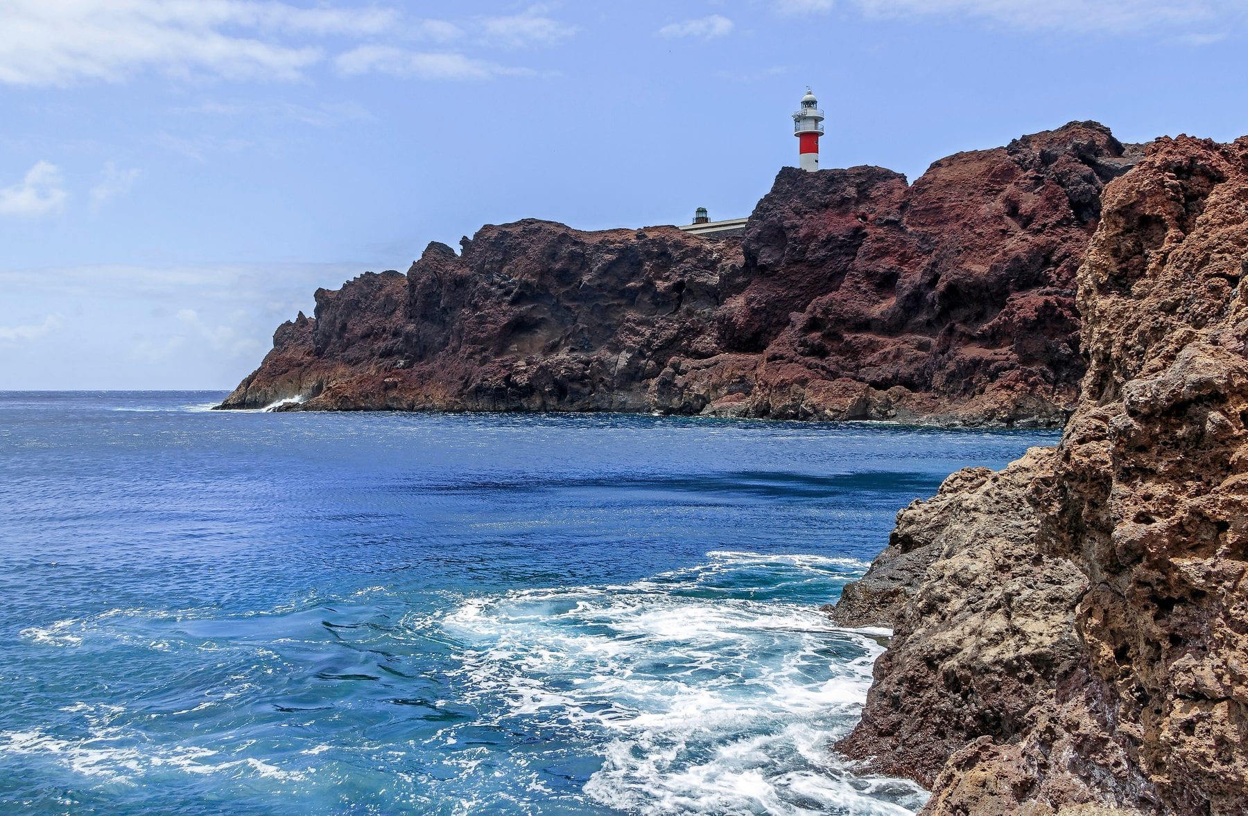
The reddish cliffs and lighthouse of Punta de Teno above the Atlantic
Photo: H. Zell · Wikimedia Commons · CC BY-SA 3.0

Punta de Teno

Buenavista del Norte · 29 min drive

Tenerife's north-western tip: a lighthouse, the Los Gigantes cliffs beyond and arguably the island's finest sunset.

The island's north-western tip, with the lighthouse and the Los Gigantes cliffs opposite. You cannot drive in on any day: it is the 369 bus or a taxi.

Essential
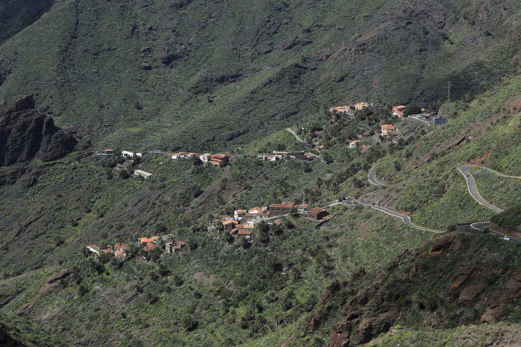
The hamlet of Masca scattered down the side of the ravine, in the Teno massif
Photo: Falk2 · Wikimedia Commons · CC BY-SA 4.0

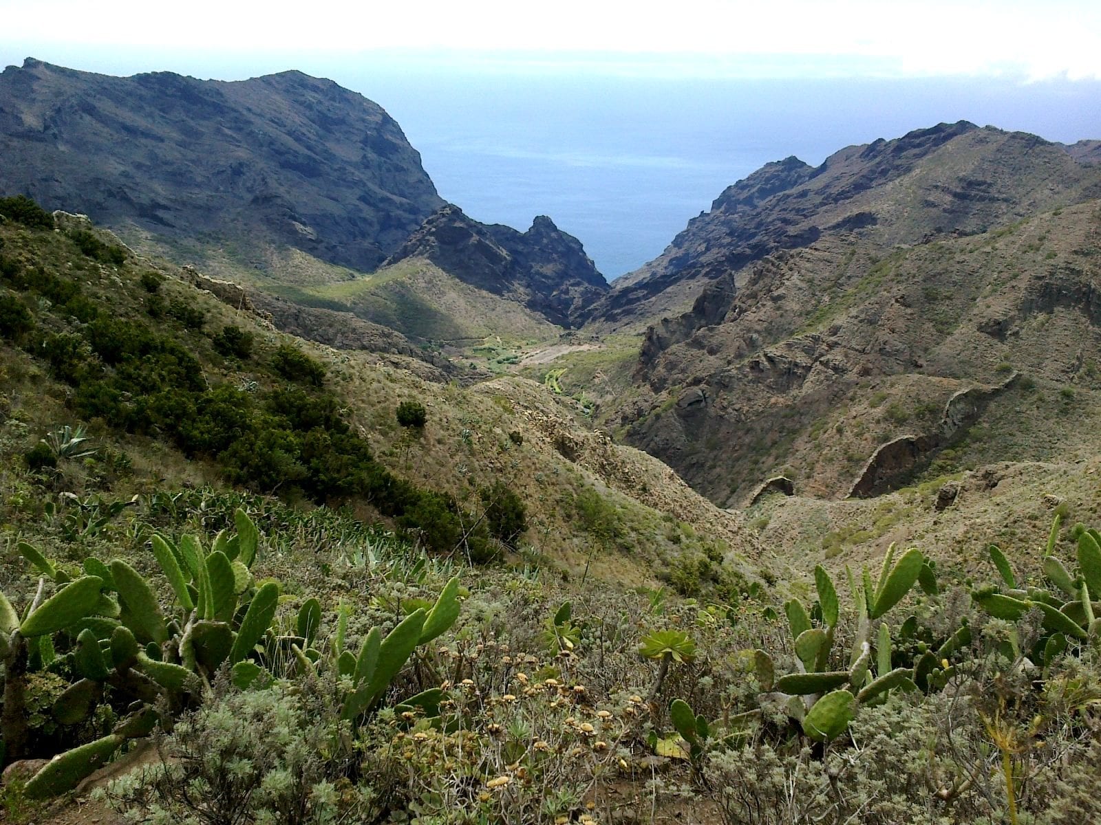
Camino del Barranco de Masca

Buenavista del Norte · 30 min drive

A one-way 5 km descent, around four hours, through a deep ravine to the jetty, with a compulsory boat back. Hard going, uneven ground and steps.

Booking required
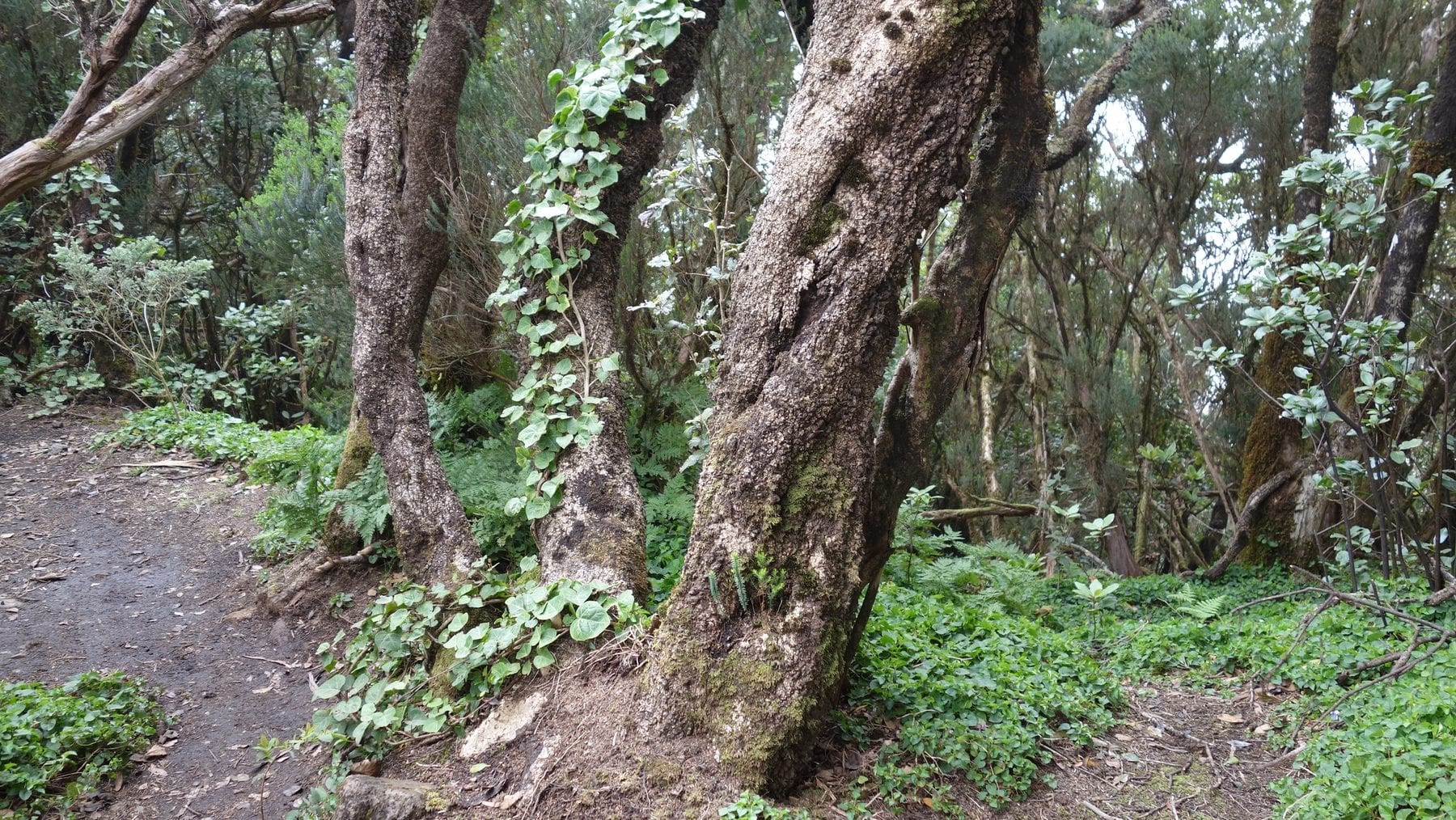
Laurel forest at El Pijaral, in Anaga, with moss-covered trunks
Photo: Tanja Freibott · Wikimedia Commons · CC BY-SA 4.0

Parque Rural de Anaga

La Laguna / Santa Cruz / Tegueste · 57 min drive

The massif at the north-eastern tip, among the island's oldest geology, with laurel forest, isolated hamlets and black beaches reachable only on foot or by boat. A Biosphere Reserve since 2015. From Icod it is at the opposite end of the island: give it a full day.

A Biosphere Reserve and real laurel forest. It is far — nearly an hour — and that is why it is a whole day, not a quick trip.

Essential
Laurel forest at El Pijaral, in Anaga, with moss-covered trunks
Photo: Tanja Freibott · Wikimedia Commons · CC BY-SA 4.0

Centro de Visitantes Cruz del Carmen

San Cristóbal de La Laguna · 54 min drive

The starting point for Anaga's classic walks, with a permanent exhibition, an audiovisual, toilets and accessible parking. The Sendero de los Sentidos and trails PR-TF 01, 10 and 12 all leave from here.

A visitor centre with short, waymarked trails leaving from the door. The gentle way into Anaga.

With childrenRainy day
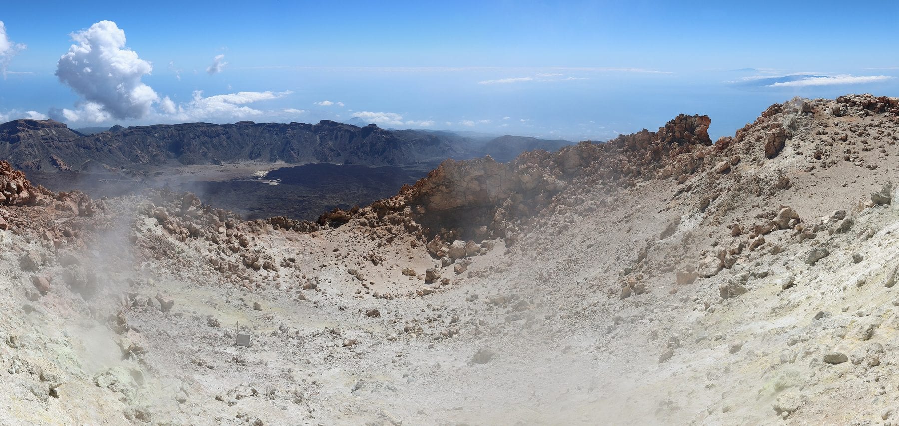
The crater of Pico del Teide with fumaroles and steam rising between the rocks
Photo: Ingo Mehling · Wikimedia Commons · CC BY-SA 4.0

Parque Nacional del Teide

Doce municipios, entre ellos Icod de los Vinos · 67 min drive

Declared on 22 January 1954 and a UNESCO World Heritage Site since 2007. It covers 18,990 ha and Teide, at 3,718 m, is Spain's highest peak. Icod de los Vinos is one of the twelve municipalities with land inside the park.

An hour's climb from the house and you change planet. It fits into a long half-day, but it deserves the whole one.

Essential
The crater of Pico del Teide with fumaroles and steam rising between the rocks
Photo: Ingo Mehling · Wikimedia Commons · CC BY-SA 4.0

Teleférico del Teide

Parque Nacional del Teide · 67 min drive

It climbs from the base station at 2,356 m to La Rambleta at 3,555 m in a few minutes. It does not reach the summit: the last stretch needs a separate permit. Book online and go early; it shuts down in wind or ice.

It is how you get up there without walking. With children it is the only realistic option above 3,000 metres.

Booking requiredWith children
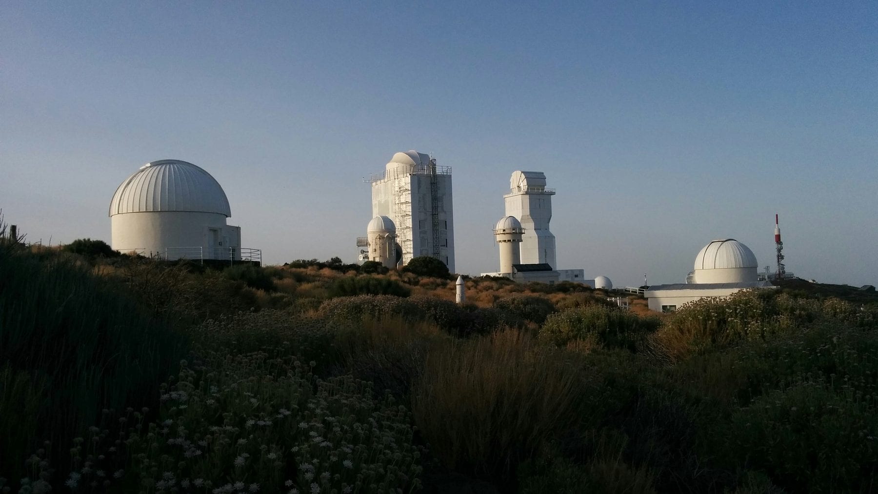
The telescope domes of the Teide Observatory, at Izaña
Photo: Vickybol · Wikimedia Commons · CC BY-SA 4.0

Observatorio del Teide (IAC)

Izaña (La Orotava / Fasnia / Güímar) · 64 min drive

The Instituto de Astrofísica de Canarias observatory at Izaña, 2,390 m up, where Canarian astrophysics began in the 1960s. It specialises in solar observation and has a visitor centre by prior booking.

Visited by appointment and at set times. It is not a viewpoint you drive up to.

Booking required
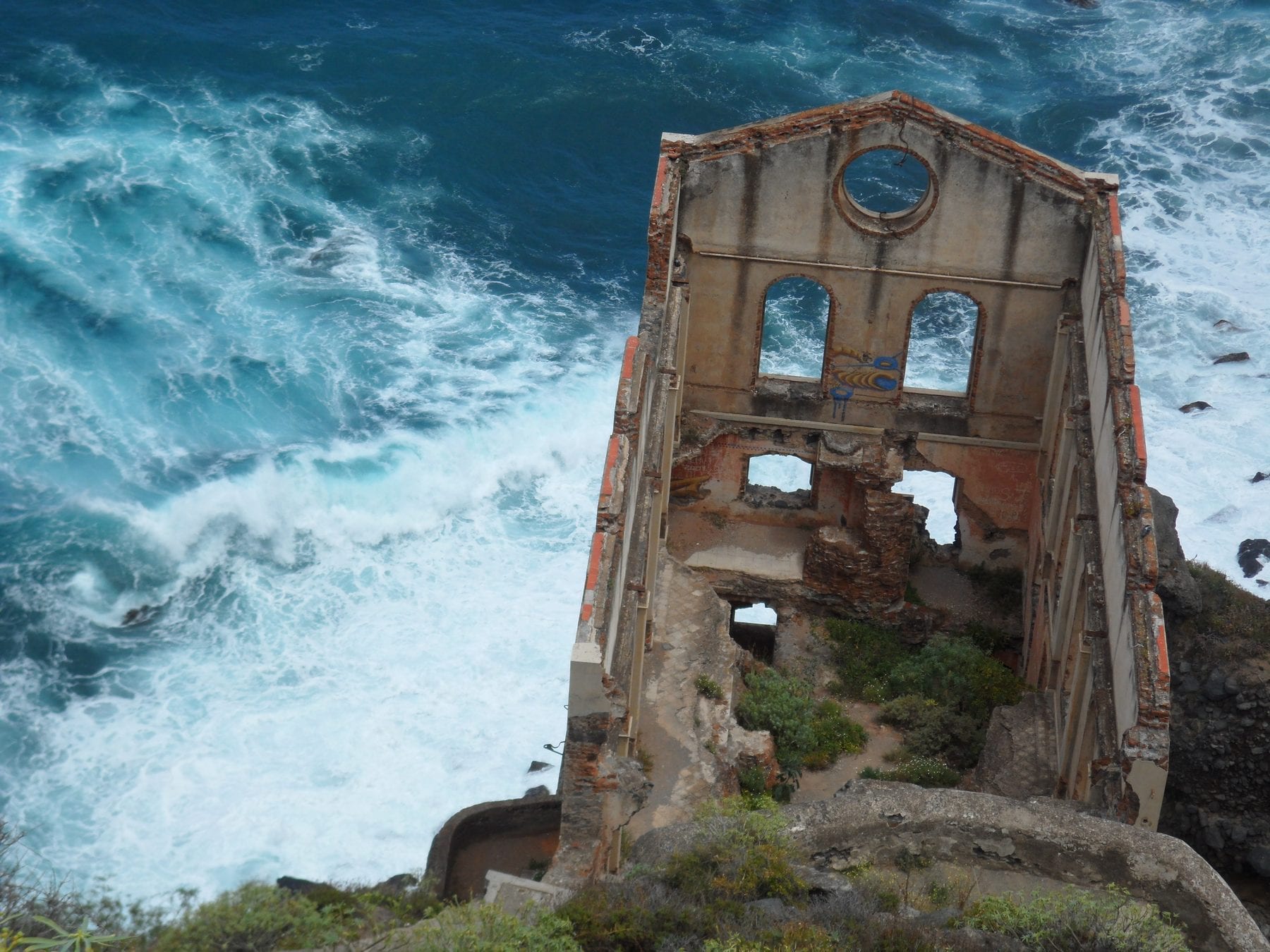
The ruins of the Gordejuela water lift, at Rambla de Castro, with the sea breaking
Photo: Noemi M. M. · Wikimedia Commons · CC BY-SA 4.0

Sendero Rambla de Castro

Los Realejos · 19 min drive

The most rewarding coastal walk in the north: 4.36 km each way, easy going, no serious climbs, through palm groves, cliffs and heritage — the Castro family manor, the San Pedro viewpoint and the ruins of the Gordejuela water lift, home to the first steam engine used to raise water in Tenerife.

The most manageable coastal walk around: short, shaded and by the sea the whole way.

With childrenFree
The crater of Pico del Teide with fumaroles and steam rising between the rocks
Photo: Ingo Mehling · Wikimedia Commons · CC BY-SA 4.0

Sendero PNT 07 Montaña Blanca – La Rambleta

Parque Nacional del Teide · 66 min drive

The walk up Teide: 8.29 km from the TF-21 to La Rambleta, 1,309 m of accumulated climb and a finish above 3,500 m. This is the route for anyone who would rather not depend on the cable car, and since 2026 it carries a fee too.

Booking required
The crater of Pico del Teide with fumaroles and steam rising between the rocks
Photo: Ingo Mehling · Wikimedia Commons · CC BY-SA 4.0

Sendero PNT 09 Teide – Pico Viejo – Narices del Teide

Parque Nacional del Teide · 67 min drive

The Narices del Teide traverse: 9.61 km along the rim of Pico Viejo, the vent that opened in the 1798 eruption. It needs a permit like the park's other high trails, but the official page publishes no fee.

Booking required

Sendero PRA 18 La Asomada – Cruz de Afur

Santa Cruz de Tenerife

2.37 km inside the Monte Aguirre exclusion zone in Anaga. Short and moderate, but the permit is compulsory for everyone, not only for groups: the quota protects the laurel forest and the historic water galleries.

Booking required
A ravine in the Teno Rural Park seen from the Altos de Baracán viewpoint
Photo: rene boulay · Wikimedia Commons · CC BY-SA 3.0

Barranco del Infierno

Adeje · 74 min drive

A Special Nature Reserve in Adeje, at the far end of the island: 6.5 km there and back through a watered ravine, about 250 m of climb and roughly three hours. Booking is compulsory, the helmet stays on throughout and entry hours change with the season.

Booking required
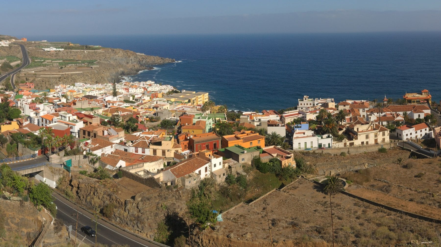
San Juan de la Rambla, a town on the north coast of Tenerife, above the cliff
Photo: Javier Sanchez Portero · Wikimedia Commons · CC BY-SA 3.0

Barranco de Ruiz

San Juan de la Rambla / Los Realejos · 36 min drive

A ravine between San Juan de la Rambla and Los Realejos, a Site of Scientific Interest, where the shift from heath woodland to laurel forest is unusually easy to see. A picnic area with parking sits at the entrance. The closest short, cool stop to Icod along the TF-5.

A picnic area with a short trail in a ravine with water. It works with children and needs no booking.

With childrenFree
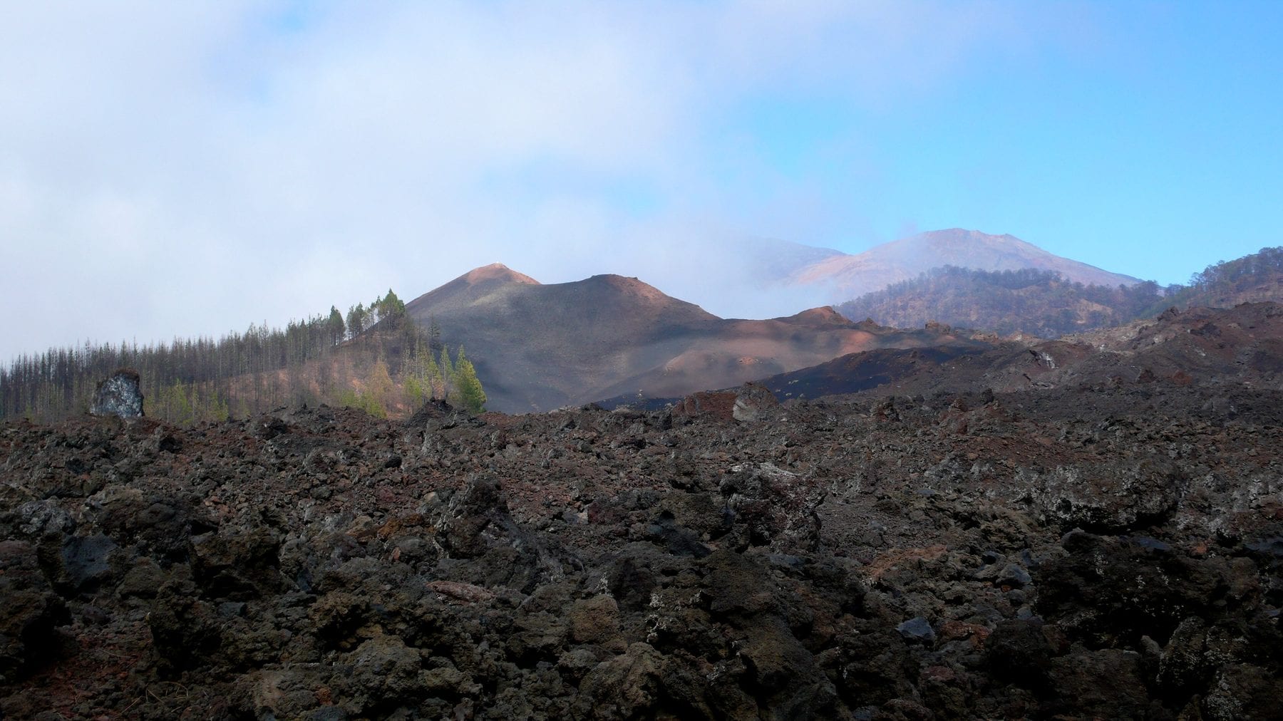
The lava badlands of the Chinyero volcano, with the cone behind
Photo: Mataparda · Wikimedia Commons · CC BY 3.0

Reserva Natural Especial del Chinyero

El Tanque / Garachico / Santiago del Teide · 47 min drive

The site of Tenerife's last eruption, in 1909. The reserve covers 2,739 ha along the Abeque ridge and is an outstanding example of plant colonisation over recent lava fields. A network of PR-TF 43 trails lets you pick your distance.

Tenerife's last eruption before 1971, and you walk over the flow. Flat trail, no shade.

The lava badlands of the Chinyero volcano, with the cone behind
Photo: Mataparda · Wikimedia Commons · CC BY 3.0

PR-TF 43 Garachico – Chinyero

Garachico / El Tanque / Santiago del Teide · 9 min drive

The long, hard version: 18.71 km from Garachico town up to Montaña Chinyero, with 1,810 m of accumulated climb from near sea level. It crosses three protected areas, historic lava flows and pine forest, with views of Teide and Pico Viejo.

Laurel forest at El Pijaral, in Anaga, with moss-covered trunks
Photo: Tanja Freibott · Wikimedia Commons · CC BY-SA 4.0

Circular La Ensillada – Cabezo del Tejo (El Pijaral)

Santa Cruz de Tenerife · 65 min drive

Anaga's famous 'enchanted forest': relict laurel woodland inside the El Pijaral Integral Nature Reserve, with the Cabezo del Tejo viewpoint over Taganana and the north coast. A 6.44 km loop, 2 h 30, moderate.

Booking required
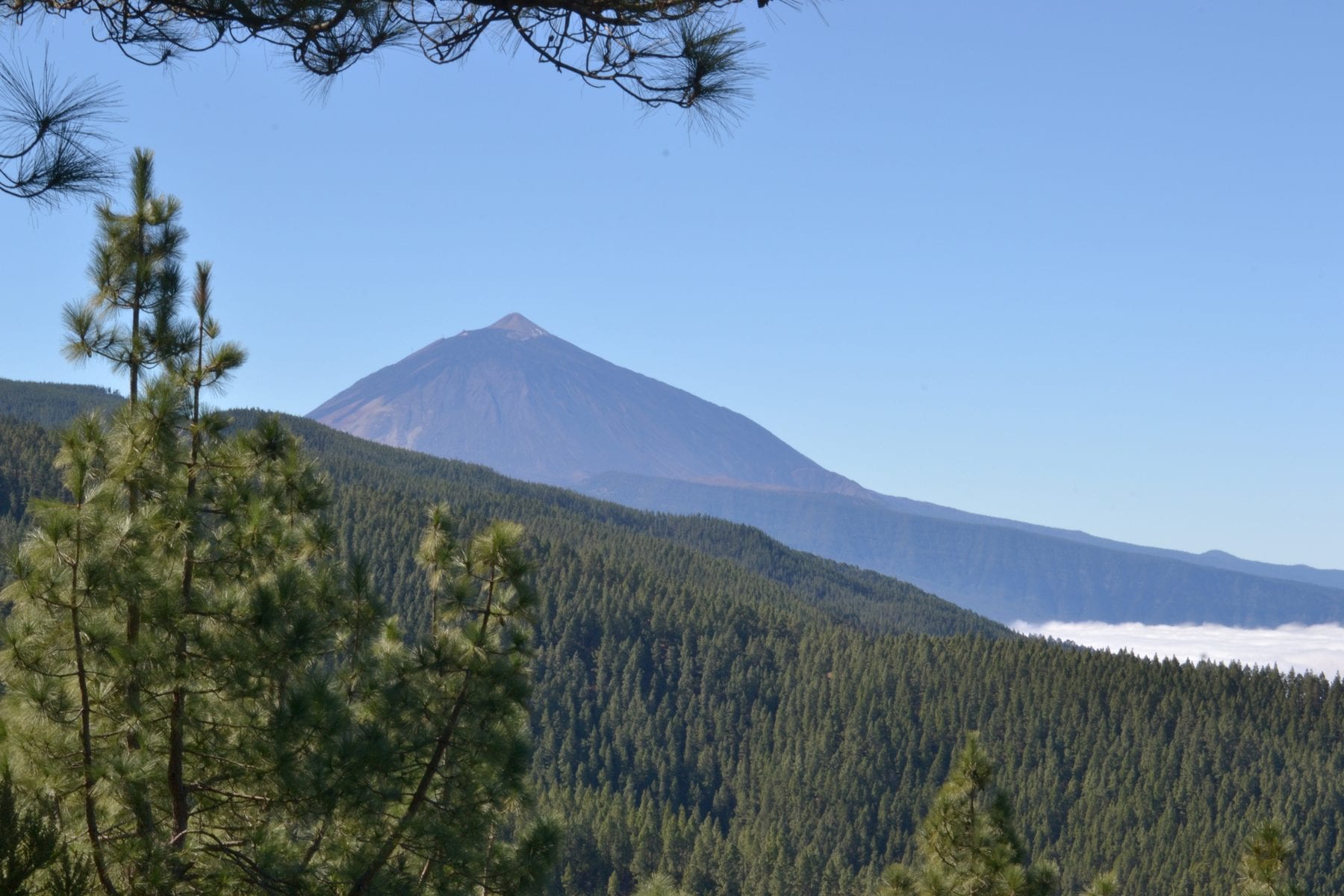
Canary pine forest on the way up to Teide, with the snow-topped peak behind
Photo: Josefir Instantes · Wikimedia Commons · CC BY-SA 4.0

PR-TF 72 Circular Vilaflor – Paisaje Lunar

Vilaflor / Granadilla de Abona · 74 min drive

A loop along the old Camino Real de Chasna to the Los Escurriales viewpoint, where erosion has carved pale tuff into lunar cones. 13.09 km, about five hours and 852 m of accumulated climb, through Canary pine forest.

Canary pine forest on the way up to Teide, with the snow-topped peak behind
Photo: Josefir Instantes · Wikimedia Commons · CC BY-SA 4.0

Área recreativa de Las Raíces

El Rosario · 50 min drive

Damp pine forest along the La Esperanza ridge, Canary pine mixed with faya, holly and heather. The picnic area at 1,000 m has tables, barbecues, toilets, a playground and parking. It sits on the TF-24 route up to Teide.

Hours entre la salida y la puesta de sol

To read slowly

The guides in this category

Anaga in a day from the north

Laurel forest, isolated hamlets and black beaches at the far end of the island. What you can realistically do in a day from Icod, and what needs a permit.

Reviewed on

Getting to Teide from Icod

The two possible routes from the north-west, which one to take and when, what happens with ice in winter, and why we do not quote an exact drive time.

Reviewed on

Punta de Teno and Masca: how access works now

Private cars are banned at Punta de Teno every day, and the Masca ravine needs a booking and a boat back. The current rules, from official sources.

Reviewed on

Stargazing in Tenerife without paying for a tour

Teide and the summits renewed their Starlight certification in February 2026. How to go up on your own, when, and what to bring so you do not freeze.

Reviewed on

This guide is written from a house in Icod, and the house is for rent.

Finca Julia

4,96 · 52 reviews

Check availabilityOpens the official Airbnb listing in a new tab