Los Silos · Hiking
PR-TF 55 El Palmar – Los Silos (por Talavera)
A cobbled path that once climbed from Los Silos to the hamlet of Talavera and now continues to the El Palmar valley. It sets off from La Pina, steepens on the Lomo de Los Cardones ridge with views of the Isla Baja coast, and reaches the abandoned houses of Talavera, which look out over Monte del Agua, the El Palmar valley and the Baracán ridge. It ends at Plaza de Las Libreas in El Palmar.
- 21 min · 14.5 kmFrom Icod old town
- Half a dayIt takes
- Los SilosMunicipality
- No record that it is neededBooking
28.3556° N · 16.8301° O
Checked 2026-10-24· official source
01Practical details
- Code
- PR-TF 55
- Length
- 5.10 km
- Cumulative elevation
- 701.65 m ascent / 362.25 m descent
- Max / min altitude
- 776.43 m / 168.84 m
- Estimated time
- 2 h 50 min
- Difficulty
- Medium (MIDE)
- Type
- Linear
- Start
- End of Camino de Las Cruzadas, south of Los Silos town centre
- Finish
- Plaza de Las Libreas, Carretera El Palmar (TF-436), km 5.5
- Municipalities
- Buenavista del Norte and Los Silos
- Protected area
- Teno Rural Park
- Buses
- Start: route 363 (stop 4454, about 10 min on foot). Finish: routes 355, 365 and 366 (stop 4544)
- Permit
- Free access for visitors, no booking required
- Accessibility
- Not accessible for people with reduced mobility
03Around
What you have nearby
Ordered by real distance between coordinates, not by our preference.
PR-TF 54 Los Silos – Erjos (Las Moradas)
A linear route from Erjos to Los Silos that starts along the Monte del Agua forest track through laurel woodland and, after 4 km, turns off to drop to Las Moradas Altas with views over the cloud forest. It descends on the cobbled remains of an old royal road to Las Moradas Bajas, an abandoned hamlet, and ends at the church square in Los Silos.
Los Silos
A north-western village at the foot of the Teno massif, sheltered by Aregume mountain, whose old centre is protected as a Conjunto Histórico. Cobbled streets lead to Plaza de la Luz, with its 1923 bandstand, the church of Nuestra Señora de la Luz and the former convent of San Sebastián, now a library, exhibition room and visitor centre. Several Teno Rural Park trails start here, and it is home to the International Storytelling Festival.
PR-TF 53 Los Silos – Erjos (por Cuevas Negras)
A linear trail from Erjos down the Cuevas Negras ravine to the church square in Los Silos. It starts in the laurel forest of Monte del Agua and follows an old royal road, still cobbled in places, that once linked Los Silos with Santiago del Teide. It passes the hamlet of Cuevas Negras and crosses two wooden footbridges before reaching the square. The route is mostly downhill, with around 1,500 m of cumulative descent.
Sendero circular El Palmar – Baracán por Teno Alto
A demanding loop from the Los Pedregales visitor centre that climbs the Callejón de Teno, a cobbled royal road, to the Altos de la Cumbre. It crosses laurel forest and farmland to Teno Alto and looks out over the Baracán ridge from the La Mesita path and viewpoint, returning via the Las Tabaibas shortcut. It links sections of trails PR-TF 51, 52.2 and 57.
Plans
Plans that pass through here
Experiences and itineraries that share places with this page.
- PlanBlack, blue and lavaThe black sand of San Marcos, the rock pools of El Caletón and the badlands of Chinyero: the coast and the volcano that made it, on a dry day without a swell.
- PlanA day on Guayota's volcanoThe volcano the Guanches linked to hell, the rocks on the 1,000-peseta note and the Eggs of Teide. A full day, on a clear day.
- PlanFrom the volcano to the AtlanticUp to Teide in the morning, the whole island from La Rambleta at 3,555 metres, and down to swim at San Marcos in the afternoon. Only possible from the north.
Official sourceChecked on Next check
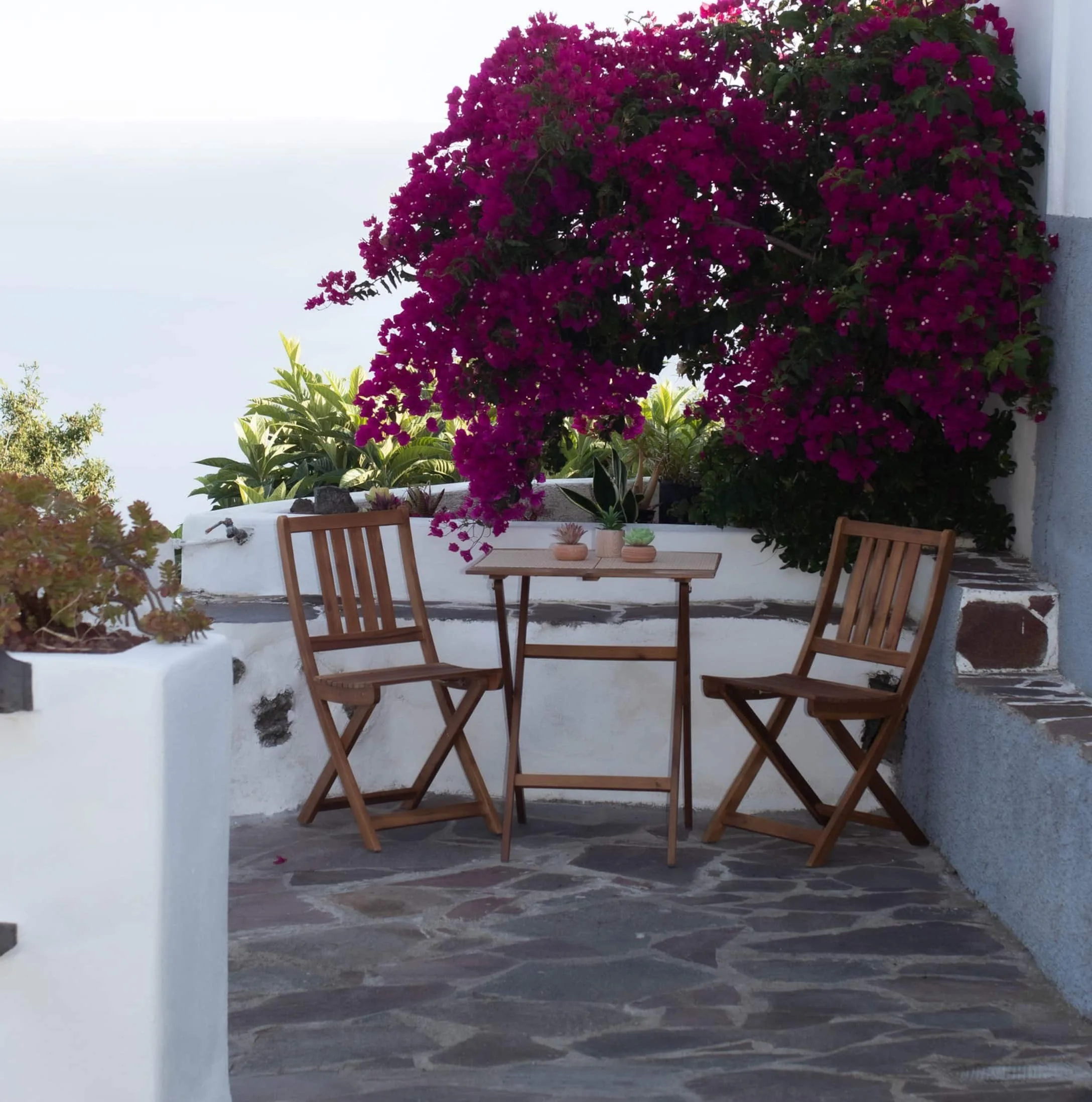
Finca Julia · Icod de los Vinos
And at the end of the day,
the terrace.
An old Canarian house on the hillside, with the Atlantic in front. Availability and price are on the official Airbnb listing.