Buenavista del Norte · Beaches and rock pools
Playa de Las Arenas
A 150-metre pebble and black-sand beach in Buenavista del Norte, on the road towards Punta de Teno next to the golf course. The sand comes and goes with the seasons: winter tides strip it away and summer brings it back. There is ample parking and a municipal pool beside it.
- 25 min · 18.1 kmFrom Icod old town
- Half a dayIt takes
- Buenavista del NorteMunicipality
- No record that it is neededBooking
28.3722° N · 16.8705° O
Checked 2026-10-24· official source
01Practical details
- Length
- 150 m
- Width
- 50 m
- Surface
- Pebbles and black sand (seasonal sand)
- Beach type
- Isolated
- Access
- On foot (easy) or by car, on the road towards Punta de Teno
- Parking
- Over 100 spaces
- Public transport
- Intercity bus only as far as Buenavista bus station
- Disabled access
- Yes
- Facilities
- Bins, bars and restaurants, sports area, municipal pool and golf course
03Around
What you have nearby
Ordered by real distance between coordinates, not by our preference.
Charco Roque
A rock pool on the Buenavista del Norte coast, between Las Arenas and El Fraile beaches, popular with locals in summer. Mid tide is the best time to go. There is no lifeguard and the swell is moderate.
Casco histórico de Buenavista del Norte
The last village on the north coast before the Teno massif, founded in the 16th century, with a grid of straight streets and houses of even height declared a Site of Cultural Interest (BIC) in 2005. The walk centres on the church of Nuestra Señora de los Remedios, restored after a fire in 1996, and its square, then takes in the Casa de la Viuda, the former convent of San Francisco, the San Sebastián chapel and the old wash-houses in the Triana ravine. A stroll round the old town takes about an hour and a half.
Caserío de Teno Alto
A hamlet with a herding tradition high up in Teno Rural Park, reached by a twisting road and cut off until a few decades ago. Its houses with thick reddish stone walls, a small square and the chapel are scattered among terraces and pasture, alongside goat farms and old threshing floors, shepherds' shelters (tagoras) and tile kilns. Several Teno massif trails start here.
Sendero autoguiado circular de Teno Alto
A loop of about 2.8 km that starts and ends in the square of Teno Alto (Los Bailaderos), a Teno Rural Park hamlet that has kept its rural character for centuries. The path runs through pasture, tree heath and reeds, past the Azabuche kiln and the small village chapel. A self-guided leaflet is available.
Plans
Plans that pass through here
Experiences and itineraries that share places with this page.
- DayA day through the villages of the Isla BajaThe listed old quarters of Los Silos and Buenavista, El Tanque's 1728 church, a viewpoint over the Isla Baja, a rock pool and Garachico on the way back.
- PlanFrom the volcano to the AtlanticUp to Teide in the morning, the whole island from La Rambleta at 3,555 metres, and down to swim at San Marcos in the afternoon. Only possible from the north.
- PlanBlack, blue and lavaThe black sand of San Marcos, the rock pools of El Caletón and the badlands of Chinyero: the coast and the volcano that made it, on a dry day without a swell.
- PlanA morning with children in IcodEight hundred butterflies under glass, a dragon tree you can do in twenty minutes and a beach with showers and black sand. Three stops within six minutes.
Official sourceChecked on Next check
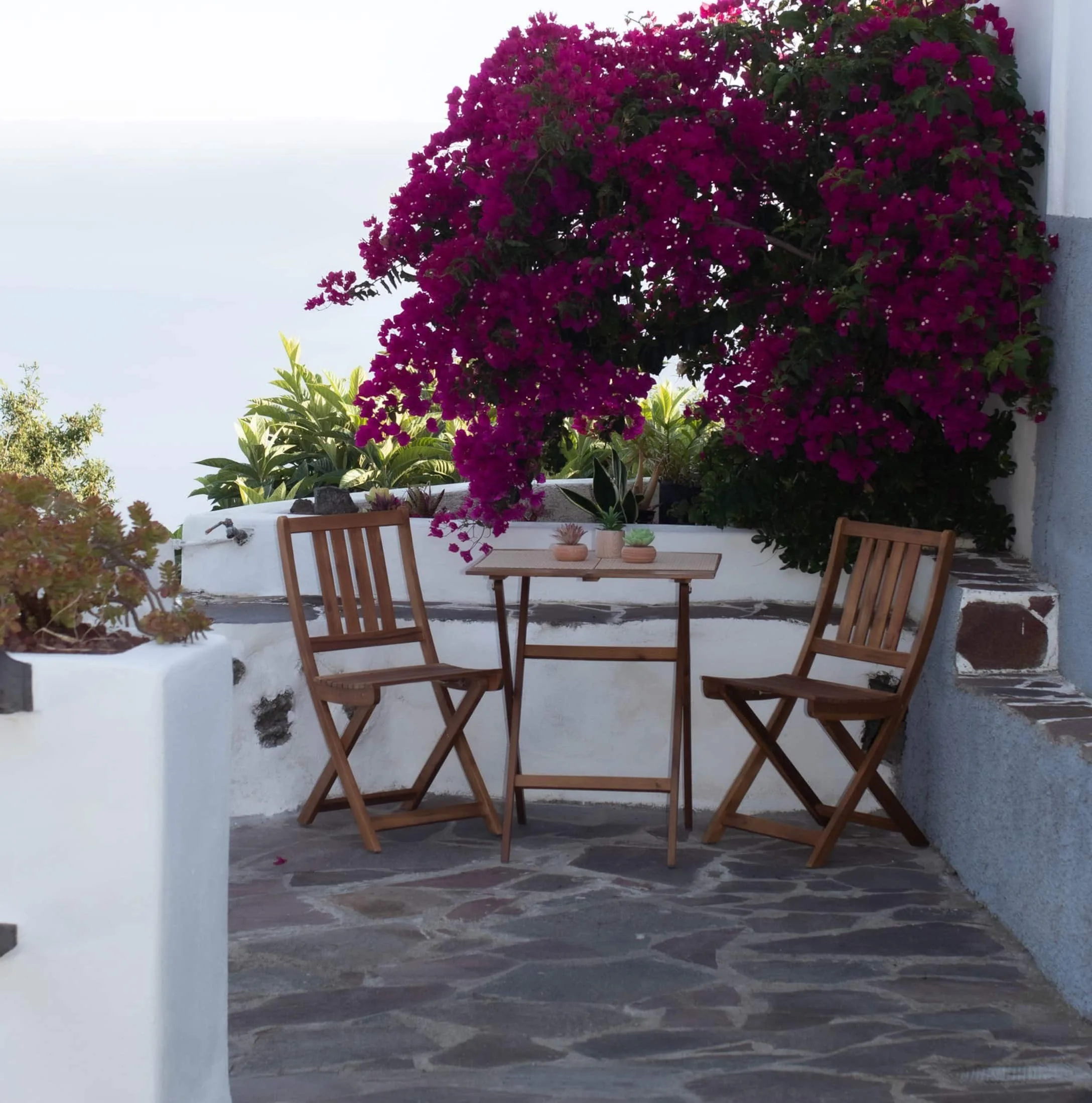
Finca Julia · Icod de los Vinos
And at the end of the day,
the terrace.
An old Canarian house on the hillside, with the Atlantic in front. Availability and price are on the official Airbnb listing.