Guide · Guide to north Tenerife
The Garachico volcano: what happened in 1706 and what you can see today
The Garachico volcano: which vent it was, when it erupted in 1706, what the lava buried and where you can still see it, from El Caletón to the viewpoint.
- 5 minread
- 26 October 2026checked
- 13sources
The Garachico volcano is the one scientists call Arenas Negras: a fissure that opened in the hills, at about 1,300 metres and some 6.5 km from the town, on 5 May 1706. Its lava ran down the slope, poured over the cliff, burned convents and houses and filled in the bay that served as the harbour. The eruption ended on 13 June. Today you can see that lava in the El Caletón pools, in the coastline it won from the sea and in the dark scars on the cliff face.
Which volcano: one event, three names
Search for the name and you will find several. The Canary Islands Volcanological Institute (INVOLCAN) and the University of La Laguna researchers who reconstructed the eruption call it the Arenas Negras eruption, or the Garachico eruption. Garachico town council speaks of the Montaña Negra volcano. Turismo de Tenerife uses Trevejo on some pages and Montaña Negra on others, and a Canary Islands Government teaching resource lists Arenas Negras as also known as the Garachico volcano or Trevejo. It is the same volcano.
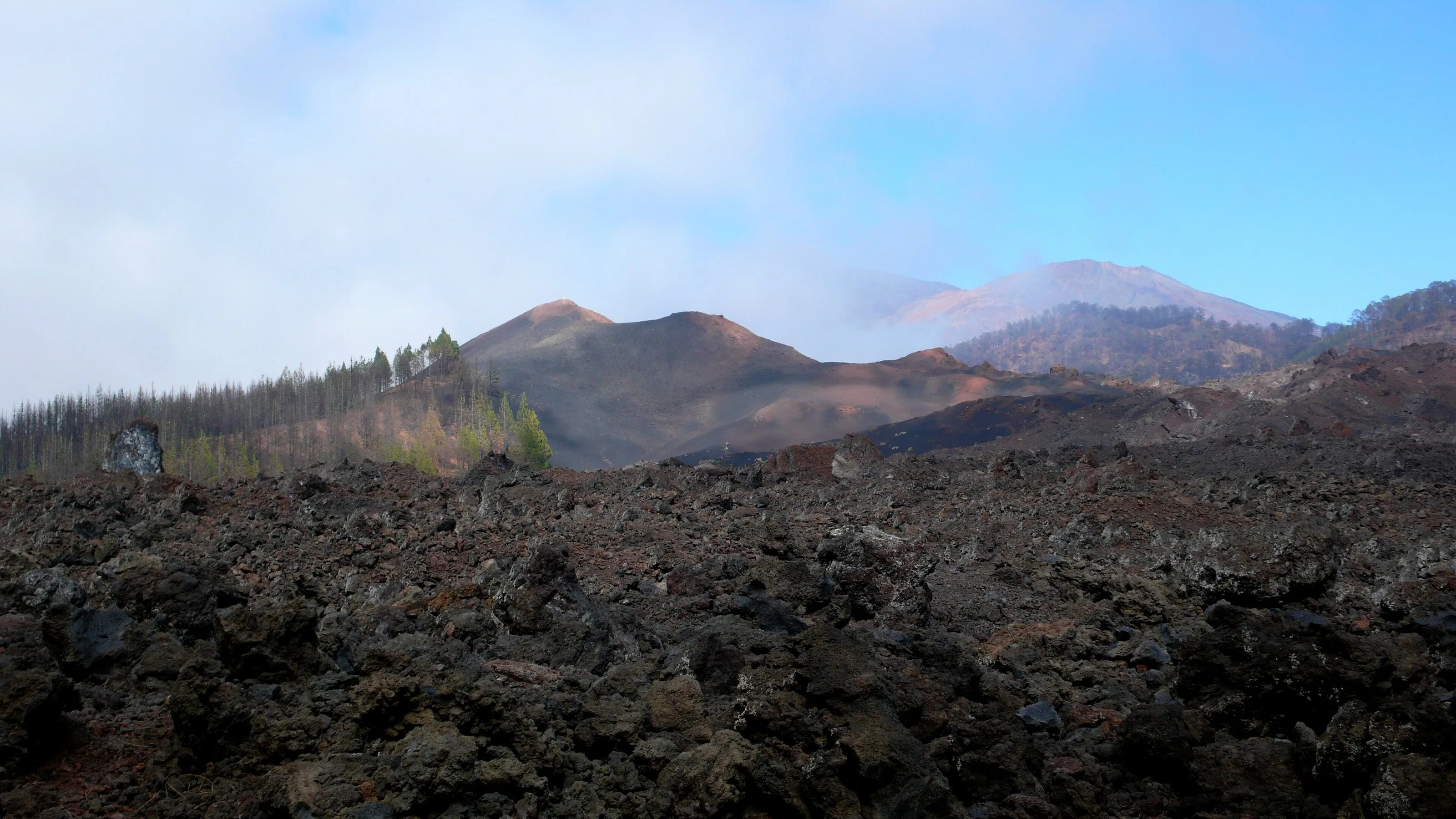
What remains up there is a cone of lapilli and scoria about 80 metres high, with two craters, and to the north-west a fissure of small vents. It sits between El Tanque and Garachico, inside the Chinyero Special Nature Reserve, the same protected area where Tenerife's last eruption took place in 1909. They are two different volcanoes two centuries apart; Chinyero's story has its own guide.
Chinyero: walking on the last eruption (1909)
What Garachico was like before the eruption
Garachico was founded at the end of the fifteenth century and in the sixteenth it was, as the council puts it, Tenerife's main gateway, trading with Europe, the Americas and Africa. The key was a small horseshoe bay, the old Caleta del Genovés, the main anchorage for much of the north of the island. Sugar went out through it first, then malvasía wine.
The town was fan-shaped, with three curving streets parallel to the sea: Calle de Arriba, del Medio and de Abajo. The main buildings stood on the upper one. By the late seventeenth century there were two churches, a hospital, a castle, five convents, several chapels and wealthy mansions. It was not at its peak: it had spent decades losing ground to the ports of Santa Cruz and La Orotava, and had been hit by a flood and by fires.
What the lava destroyed
- The harbour. The first day's flow ran down the Los Reyes ravine to the beach and filled in the inlet. That was the loss that could not be repaired.
- The heart of the town. A second phase, a week later, came in from the south and west. The San Francisco convent burned, and the fire, fed by the resinous pine timber of the grand houses, reached the parish church.
- Santa Ana. The council states that the eruption destroyed much of the church, which was rebuilt afterwards.
- Land and water. Vineyards, mills, springs and irrigation channels, plus the poor districts of Los Morales and San Telmo.
- The people. Contemporary chronicles record no deaths, but the town went from about 1,600 inhabitants in 1706 to about 400 in 1707. Many left for Icod, La Orotava, Puerto de la Cruz or the Americas.
What you can still see of the lava
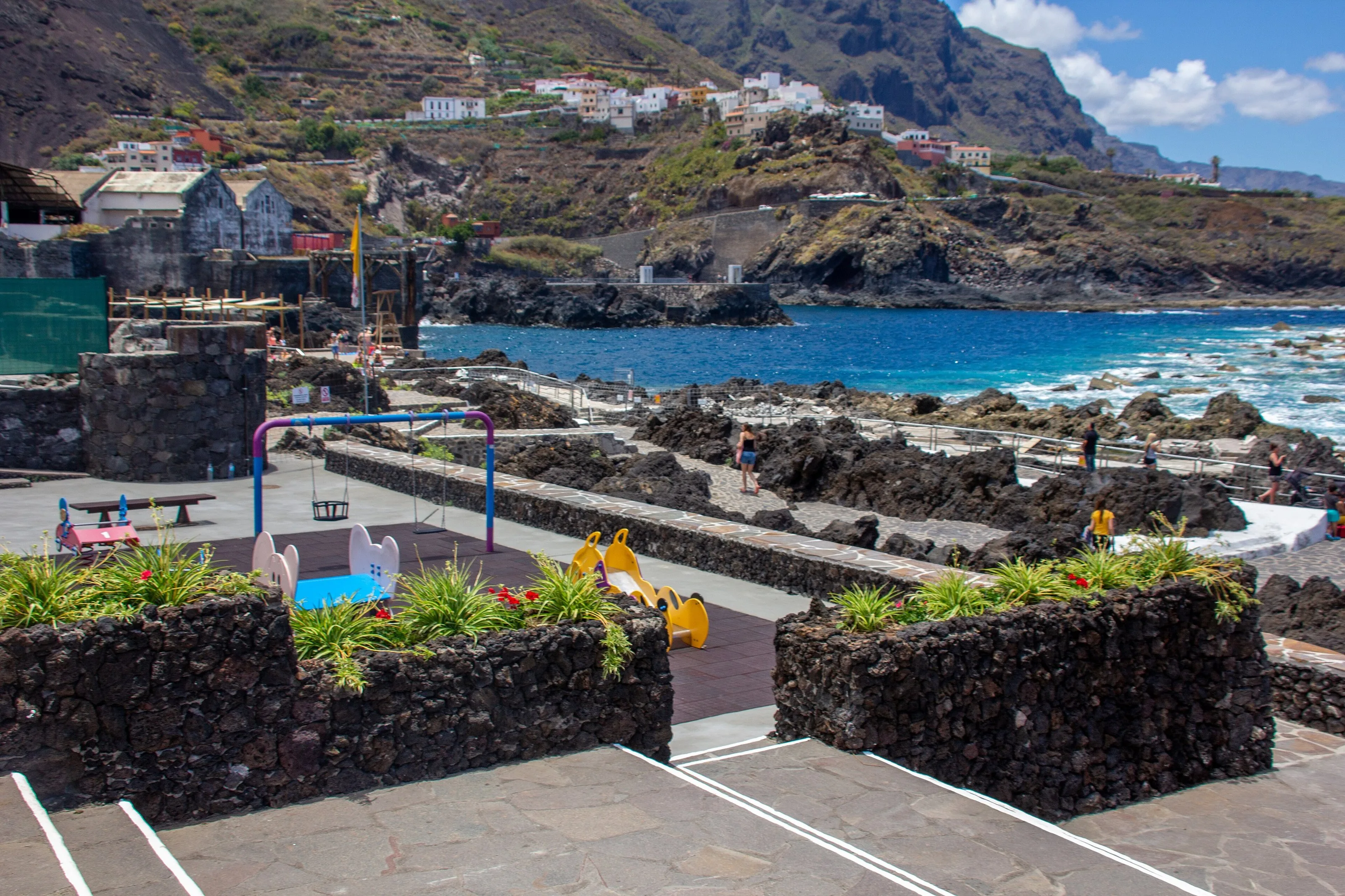
The 1706 flows filled in the old harbour and won land from the sea. INVOLCAN has a 14-stop urban itinerary tied to the eruption; these are the stops that explain it best:
- El Caletón. The natural pools are made of aa lava from that eruption, which reached the sea and left the rock pools people swim in today.
- The cliff talus. Look up from the town and you can see the lava cascades that came down the La Culata cliff. The chronicles mention about seven separate tongues.
- Castillo de San Miguel. It survived the eruption. From its roof platform, the council says, you look over the lava that makes up El Caletón.
- Puerta de Tierra. This is what remains of the port: people and goods passed through this gate. It now stands in a landscaped park.
- What survived. The Santo Domingo convent, the Los Reyes chapel and the house of the Marqueses de la Quinta Roja came through undamaged.
Where to see the flow from above
The Mirador de Garachico, in San Juan del Reparo, is on the TF-820, the road that leaves Icod heading south, at 460 metres. The council describes a panorama of the town opened up by the gully that channelled the 1706 lava. It is the quickest way to understand where it came down.
If you want to see the volcano itself, the PR-TF 43.5 Arenas Negras loop circles the cone. Tenerife ON lists it as an easy 5.83 km route from the Arenas Negras recreation area, with no public transport and very limited parking.
- Start
- 5 May 1706, before dawn
- End
- 13 June 1706 (ULL and INVOLCAN)
- Vent
- Fissure about 950 m long at about 1,300 m
- Area covered
- 7.6 km²
- Viewpoint
- Mirador de Garachico, TF-820, San Juan del Reparo
- Trail to the cone
- PR-TF 43.5, 5.83 km, easy
From Finca Julia
Garachico is Icod's neighbour to the west, and the viewpoint is on the TF-820, the road heading south out of Icod. You can do both in a morning: first up top, to see the whole flow, then down below, to walk on it. What else there is to see in the town, beyond the volcano, is in the Garachico guide.
Garachico: what to see in the town
Frequently asked questions
Which volcano buried Garachico?
Arenas Negras, also called Montaña Negra, Trevejo or simply the Garachico volcano. It erupted on 5 May 1706.
Did anyone die in the 1706 eruption?
Chroniclers at the time say not. A later author mentions victims, but the chroniclers of the time rule it out. What is documented is the exodus: Garachico lost three quarters of its people.
Are the El Caletón pools made of lava?
Yes. They are 1706 lava flows that reached the sea. Before swimming, check the sea state and any warnings for the day.
Where is the volcano, and can you walk up?
It is up in the hills between El Tanque and Garachico, inside the Chinyero Special Nature Reserve. You do not need to climb it: the PR-TF 43.5 loop goes round it and shows you the cone and the lapilli fields.
Finca Julia is a few minutes from all of this.
Check availability on Airbnb — Opens the official Airbnb listing in a new tabSources
- Romero y Beltrán (2015), «El impacto de las coladas de 1706 en la ciudad de Garachico», Investigaciones Geográficas 63 (ULL) ↗
- INVOLCAN — Guía geoturística de Tenerife, LIG 41 Taludes lávicos de Garachico ↗
- INVOLCAN — Guía geoturística de Tenerife, LIG 42 Volcán Garachico ↗
- INVOLCAN — Geoturismo urbano de Garachico (folleto) ↗
- Ayuntamiento de Garachico — Municipio (historia) ↗
- Ayuntamiento de Garachico — Mirador de Garachico ↗
- Ayuntamiento de Garachico — Castillo de San Miguel ↗
- Ayuntamiento de Garachico — La Puerta de Tierra ↗
- Ayuntamiento de Garachico — Parroquia de Santa Ana ↗
- Turismo de Tenerife — Erupciones históricas ↗
- Turismo de Tenerife — Garachico ↗
- Gobierno de Canarias (Ecoescuela) — Volcán de Garachico en 3D ↗
- Tenerife ON — PR-TF 43.5 Sendero circular Arenas Negras ↗
Updated on: · Reviewed on:
This guide is written from a house in Icod.
Finca Julia is a Canarian house for four in the hills above the town. Availability and price are on the official listing.
Plans
Plans that pass through here
Experiences and itineraries that share places with this page.
- PlanBlack, blue and lavaThe black sand of San Marcos, the rock pools of El Caletón and the badlands of Chinyero: the coast and the volcano that made it, on a dry day without a swell.
- DayThree days based in IcodIcod, Garachico and Teide in three days, with real drive times from the old town and without driving the same road twice.
- PlanA morning of mystery in IcodA 27,000-year-old lava tube, a tree whose age nobody knows and the port the lava swallowed in 1706. For travellers who come looking for stories.
- PlanA morning among dragon trees and stoneBreakfast in the old town, the dragon tree before the crowds, Icod on foot and Garachico for lunch. Four hours, six kilometres of driving.
Keep reading
The whole guide© Mike Peel . · CC BY-SA 4.0 2 min read
Garachico, the town a volcano buried
© Mataparda · CC BY 3.0 2 min read
Chinyero: walking on the last eruption
© Mike Peel . · CC BY-SA 4.0 2 min read
A month of festivities, and one that happens only every five years
Finca Julia · Icod de los Vinos
And at the end of the day,
the terrace.
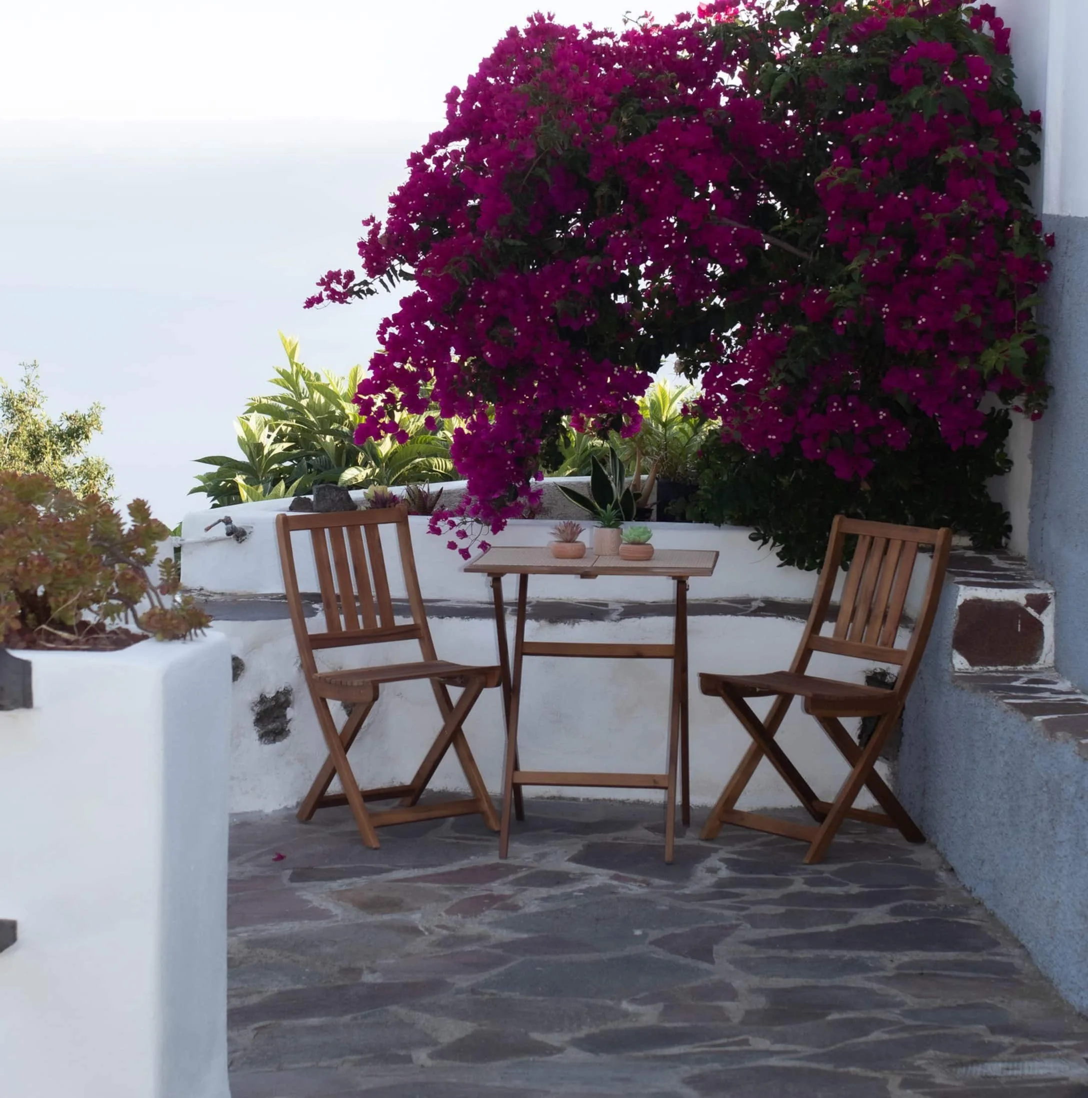
An old Canarian house on the hillside, with the Atlantic in front. Availability and price are on the official Airbnb listing.