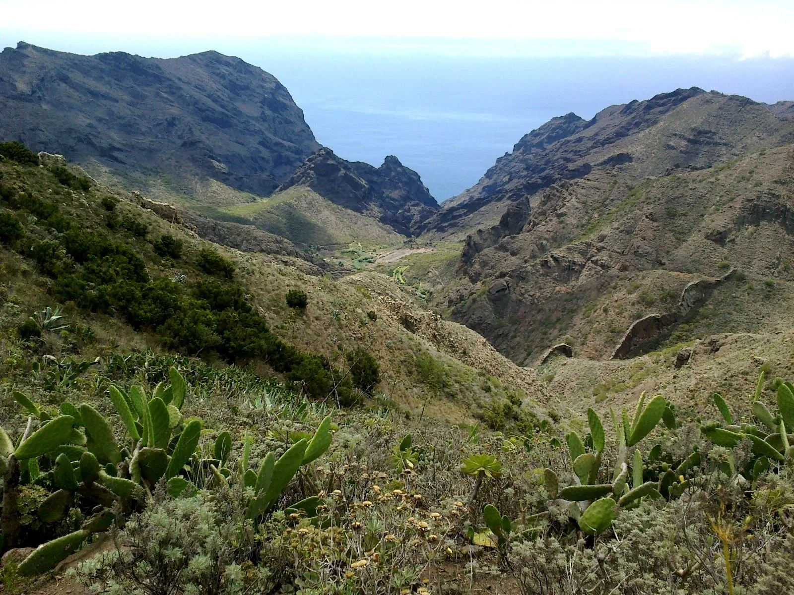
Guide · Guide to north Tenerife
Teno Alto: getting there, parking and which trails to walk
Teno Alto in Tenerife's Teno Rural Park: getting there by car or on foot from El Palmar, where to park, its official trails and what changes on alert days.
- 5 minread
- 31 October 2026checked
- 14sources
Teno Alto is a farming hamlet high up in Teno Rural Park, in Buenavista del Norte. It is also called Los Bailaderos, and locally just Teno. You can drive up, but parking is very limited and there is no public transport. The fullest way to arrive is on foot: the PR-TF 57 climbs from the El Palmar visitor centre in 3.87 km. Once there, the self-guided trail loops round the village in 2.77 km. As of 31 October 2026, all of them are free to walk with no booking for visitors.
What Teno Alto is
Traditional houses, a small square and a chapel scattered among terraces and pasture. Turismo de Tenerife mentions goat farms, old threshing floors, shepherds' shelters (tagoras) and tile kilns. Turismo de Canarias describes houses with thick walls of reddish stone and a village that lived cut off until a few decades ago. The Cabildo's park leaflet, 2021 edition, gives it 66 inhabitants.
According to Turismo de Tenerife, Teno Alto is known for its herding tradition and its artisan cheese, and local places in the village sell produce from the area's farmers. No opening hours are published.
How to get to Teno Alto
By car. Turismo de Canarias describes a winding road. The official sources do not name the road; Turismo de Tenerife gives the address Pista la Mesita, 38489 Buenavista del Norte. At the top, Tenerife ON warns that there are very few spaces in the village. Better still, walk up.
By bus. There is no service to Teno Alto, according to Tenerife ON. The nearest option is the start of the PR-TF 57 in El Palmar: TITSA routes 355, 365 and 366, stop Las Canales (4546). From there you walk up.
Do not confuse it with Punta de Teno, the lighthouse, or with the Masca ravine: both have their own access rules, which we explain in their guide.
Punta de Teno and Masca: how access works
Trails at Teno Alto
The village walk: self-guided trail
A loop that starts and ends in the Teno Alto square. 2.77 km, 1 h 20 min, low difficulty and about 91 m of ascent. It runs through pasture, tree heath and reeds, past the Azabuche kiln, a traditional kiln in good condition, and the small chapel facing the square. It is the one to do if you have driven up.
Walking up from El Palmar: PR-TF 57 Callejón de Teno
It follows the old royal road between El Palmar and Teno Alto. It leaves the Los Pedregales Visitor Centre (TF-436, km 6), climbs a stone path to the Alto de la Cumbre viewpoint and drops along the Los Lavaderos track to the church in Teno Alto. 3.87 km, 1 h 55 min, medium difficulty, about 453 m of ascent. It is linear: plan your return before you set off.
The long loop: El Palmar–Baracán via Teno Alto
For getting back to the car without retracing your steps. It climbs the Callejón de Teno, crosses Teno Alto, follows the La Mesita path to the Baracán viewpoint and drops via the Las Tabaibas shortcut. 9.66 km, 3 h 20 min, high difficulty, about 776 m of ascent. The section from Baracán to El Palmar is not waymarked, although the path is visible. There is parking at the visitor centre.
Down towards Buenavista: PR-TF 58 Camino del Risco
The old path between Teno Alto and Buenavista, also called the Camino de los Muertos: coffins were carried down it to the town. It heads north, passes Barreras de Puerto Malo and an old tagoror, looks out to Roque del Toscón and follows the Aderno ravine to Casablanca, on the TF-445. Tenerife ON gives 3.73 km, 2 h 20 min and medium difficulty, between 784 m and 115 m above sea level. The TF-445 has restrictions on traffic and on walkers: check bus 369 before you go.
Passing through: PR-TF 51
The massif's long traverse (22.60 km, high difficulty) passes through the Los Bailaderos square on its way to Punta de Teno.
Precautions
Wildfire alert days. As RTVC reported on 24 July 2026, under an Alert or Maximum Alert the Cabildo restricts visitors' cars heading to Masca, Teno Alto, Los Carrizales, El Palmar and Teno Rural. Residents, workers, emergency vehicles and buses can still get through. The Cabildo posts updates on its website, social media and roadside panels.
- The weather turns fast. At the Baracán viewpoint the sun can shine while it drizzles a few metres away, according to Turismo de Tenerife. Check the forecast and the trail's status before you go.
- Livestock, dogs and loose rock: the listings ask for care. Keep out of private land.
- Emergencies: 112.
- Teno Alto self-guided
- 2.77 km · 1 h 20 min · low · loop
- PR-TF 57 El Palmar–Teno Alto
- 3.87 km · 1 h 55 min · medium · linear
- El Palmar–Baracán loop
- 9.66 km · 3 h 20 min · high · +776 m
- PR-TF 58 Camino del Risco
- 3.73 km · 2 h 20 min · medium · linear
- Nearest bus
- TITSA 355, 365 and 366 · Las Canales (4546), in El Palmar
- Parking in Teno Alto
- very limited
- Los Pedregales Visitor Centre
- Monday to Sunday, 9:30–16:30 · +34 922 447 974
From Finca Julia
Teno Alto lies west of Icod, beyond Buenavista del Norte. If you drive, the simplest plan is to park at the Los Pedregales visitor centre in El Palmar and walk up the Callejón de Teno; with the loop you get back to the car without a bus. If you drive up to the village, do the self-guided trail. Bring water, a warm layer and a waterproof, and check the Cabildo's alert level before you go.
Erjos and Monte del Agua walks
Do you need a car in Tenerife?
Frequently asked questions
Can you drive to Teno Alto?
Yes, except on wildfire Alert or Maximum Alert days, when the Cabildo restricts visitors' cars. Parking in the village is very limited.
Is there a bus to Teno Alto?
No. Routes 355, 365 and 366 stop at Las Canales (4546) in El Palmar, where the PR-TF 57 up to the village begins.
Which is the easiest Teno Alto walk?
The self-guided loop: 2.77 km and 1 h 20 min, low difficulty, starting and finishing in the square.
Do you need to book?
No. As of 31 October 2026, the Tenerife ON listings give free access with no booking for visitors.
Finca Julia is a few minutes from all of this.
Check availability on Airbnb — Opens the official Airbnb listing in a new tabSources
- Tenerife ON (Cabildo) — Teno Alto Self-guided Trail ↗
- Tenerife ON (Cabildo) — PR-TF 57 Callejón de Teno ↗
- Tenerife ON (Cabildo) — Sendero circular El Palmar–Baracán por Teno Alto ↗
- Tenerife ON (Cabildo) — PR-TF 58 Teno Alto–Buenavista del Norte. Camino del Risco ↗
- Tenerife ON (Cabildo) — PR-TF 51 San José de Los Llanos–Punta de Teno ↗
- Tenerife ON (Cabildo) — Parque Rural de Teno ↗
- Cabildo de Tenerife — Folleto del Parque Rural de Teno (PDF) ↗
- Turismo de Tenerife — Caserío de Teno Alto ↗
- Turismo de Tenerife — Teno Rural Park ↗
- Turismo de Tenerife — PR-TF 57 Callejón de Teno ↗
- Turismo de Tenerife — PR-TF 58 Camino del Risco ↗
- Turismo de Tenerife — Mirador Altos de Baracán ↗
- Turismo de Canarias (Gobierno de Canarias) — Teno Alto ↗
- RTVC — El Cabildo regulará los accesos al Parque Rural de Teno en caso de alertas (24-07-2026) ↗
Updated on: · Reviewed on:
This guide is written from a house in Icod.
Finca Julia is a Canarian house for four in the hills above the town. Availability and price are on the official listing.
Plans
Plans that pass through here
Experiences and itineraries that share places with this page.
- DayThree days based in IcodIcod, Garachico and Teide in three days, with real drive times from the old town and without driving the same road twice.
- PlanBlack, blue and lavaThe black sand of San Marcos, the rock pools of El Caletón and the badlands of Chinyero: the coast and the volcano that made it, on a dry day without a swell.
- PlanA day on Guayota's volcanoThe volcano the Guanches linked to hell, the rocks on the 1,000-peseta note and the Eggs of Teide. A full day, on a clear day.
- PlanFrom the volcano to the AtlanticUp to Teide in the morning, the whole island from La Rambleta at 3,555 metres, and down to swim at San Marcos in the afternoon. Only possible from the north.
Keep reading
The whole guide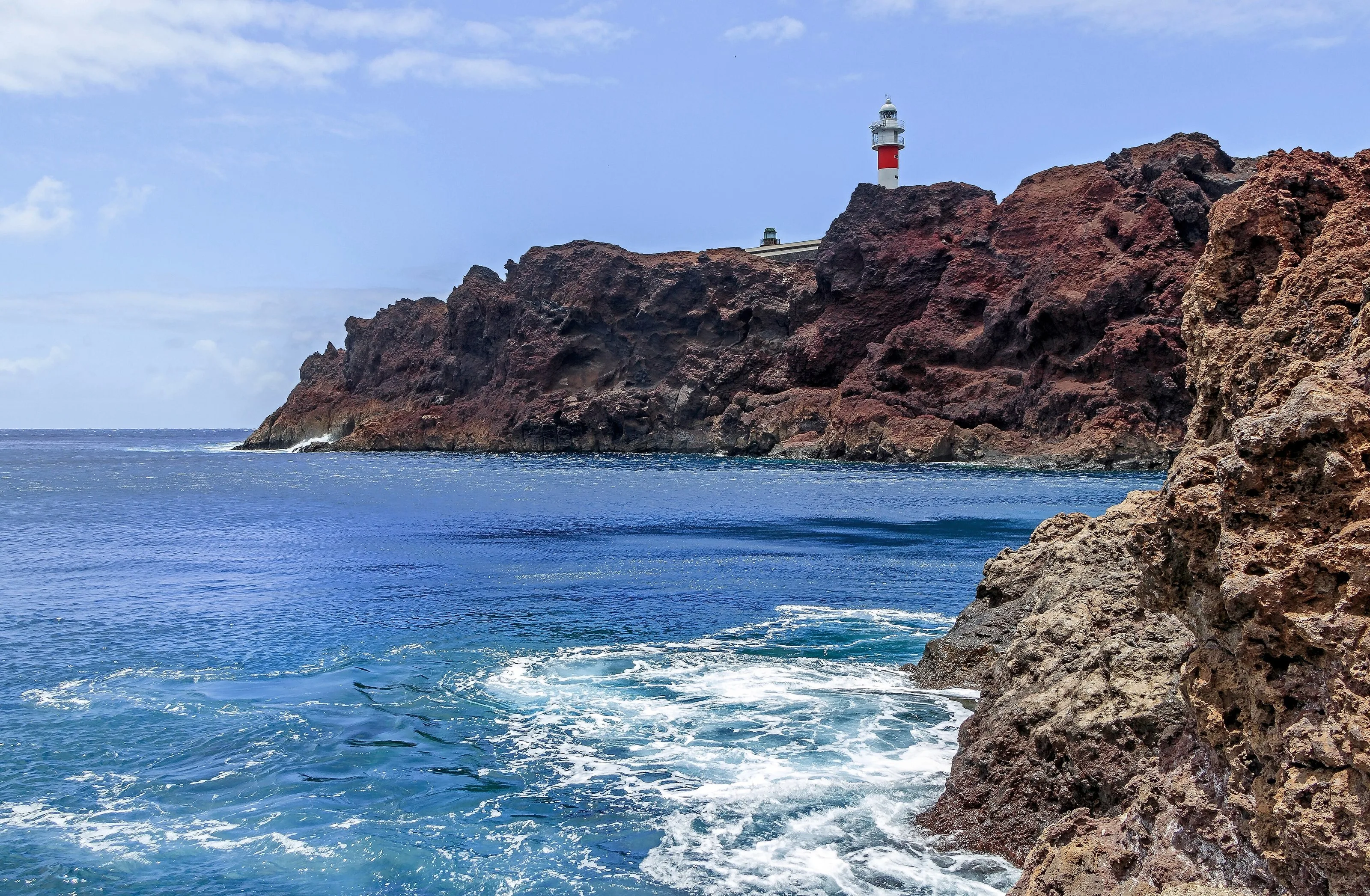
© H. Zell · CC BY-SA 3.0 2 min read
Punta de Teno and Masca: how access works now
© rene boulay · CC BY-SA 3.0 6 min read
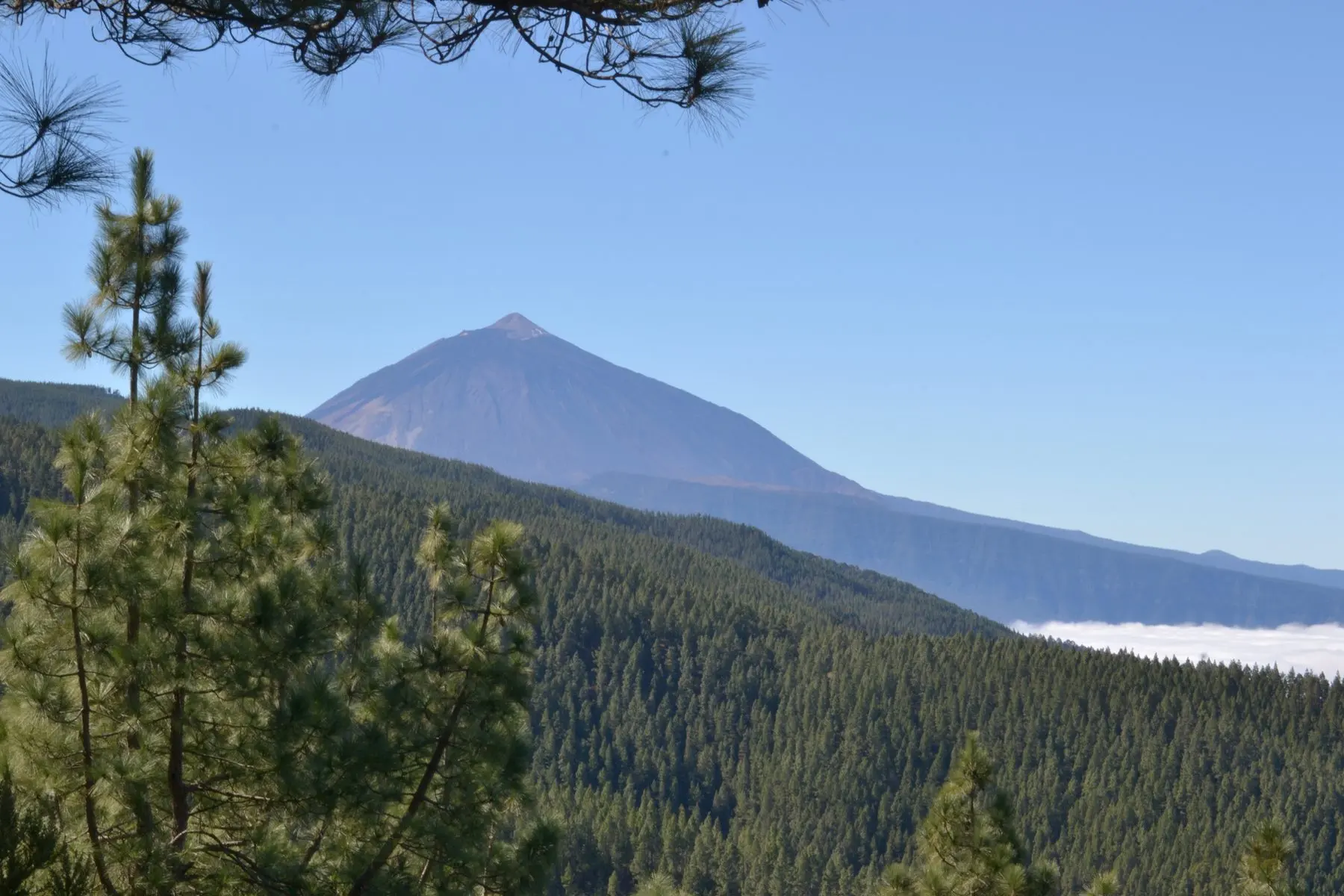
Erjos, Los Silos and Monte del Agua walks: a guide to choosing
© Josefir Instantes · CC BY-SA 4.0 2 min read
Walks near Icod
Finca Julia · Icod de los Vinos
And at the end of the day,
the terrace.
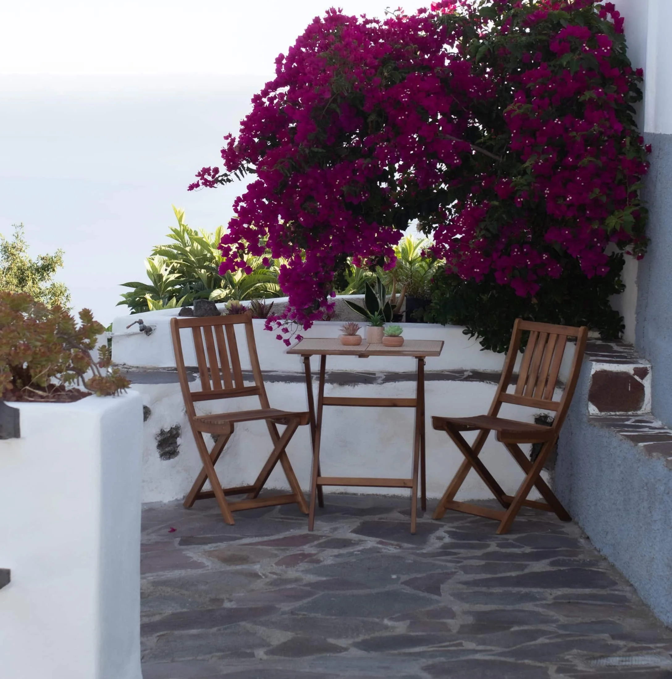
An old Canarian house on the hillside, with the Atlantic in front. Availability and price are on the official Airbnb listing.