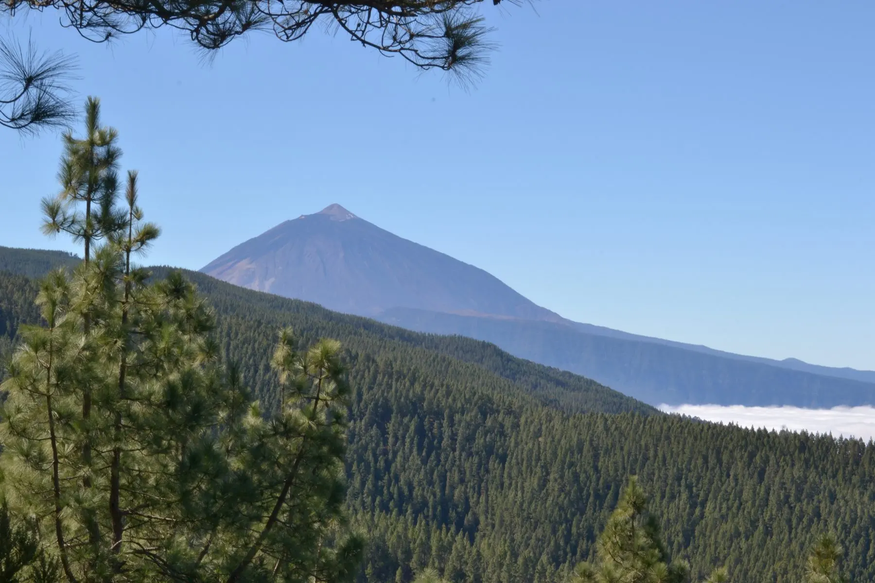
Guide · Guide to north Tenerife
What to see in El Tanque, an inland municipality in the Isla Baja
What to see in El Tanque: the San Antonio de Padua church, the old quarter, the hamlets of Ruigómez and San José de Los Llanos, viewpoints and trails.
- 6 minread
- 3 November 2026checked
- 17sources
El Tanque is a small municipality in north-west Tenerife, in the Icod-Daute-Isla Baja district. It covers 23.65 km², has no coastline and borders Garachico, Los Silos and Santiago del Teide. What there is to see is the old quarter, above all the El Tanque Bajo area, and the church of San Antonio de Padua, a listed Site of Cultural Interest; the hamlets of Ruigómez and San José de Los Llanos and, on the Los Silos boundary, Erjos, along the road to Santiago del Teide; and viewpoints over the coast, such as La Atalaya. More than 60% of the land is protected.
A name that comes from water
According to Turismo de Tenerife, the name is thought to recall a pond or water tank that supplied Garachico. Halfway between the church square and La Atalaya viewpoint stand the remains of the wall of an old dam. Its protected areas run from 400 to 1,354 metres above sea level.
The old quarter and the church of San Antonio de Padua
Turismo de Tenerife places most of the old quarter's heritage in El Tanque Bajo. From the town hall, the old Mentidero path runs between crop fields and large old houses into the old quarter.
The church of San Antonio de Padua stands on Calle Párroco P. Rodríguez Baute. It began as a chapel in the sixteenth century: the Cabildo's catalogue of Sites of Cultural Interest gives a first mention in 1540. The eruption of the Trevejo volcano in 1706 destroyed it, and it was rebuilt in 1728. On the south side is the Rosario chapel, from 1772. In the twentieth century it was heavily remodelled and given its tower. It is a listed monument. No official source gives visiting hours.
Two more listed sites
The catalogue lists two more. The Casa de los Guzmanes is a traditional farmhouse on a small rise at the top of El Tanque Bajo, with an outside wooden gallery and rooms for grain, mills and water filters. The catalogue itself says it is not in good condition.
Las Partidas de Franquis is a rock-art site: large boulders on a small flat at the foot of Tomás Seche mountain. The highlights are alphabet-like engravings pecked into the stone and the figure of a bovid. The catalogue does not say whether it can be visited.
Ruigómez, Erjos and San José de Los Llanos
These hamlets lie on the road from El Tanque to Santiago del Teide. On the loop from Ruigómez, Turismo de Tenerife points out several threshing floors for cereal, the Casas de la Cuna, among the oldest houses in the area, and the chapel of San José, built in the eighteenth century in an isolated spot. Part of the route follows the old Los Llanos path.
Erjos sits on the Los Silos boundary. According to Turismo de Tenerife, Calle La Unión, which leads to the Erjos chapel, is the boundary: the right-hand pavement belongs to Los Silos and the left-hand one to El Tanque. Tenerife ON, however, places Erjos in Los Silos. Erjos has the Charcas, old open-pit mines that fill with water in the rainy season, and a trail from there into Monte del Agua.
Erjos and Monte del Agua walks
San José de Los Llanos is reached from Erjos by a turn-off to the left. It sits where the pine forest begins and, according to Turismo de Tenerife, is one of the highest inhabited places on the island. The PR-TF 43.1 leaves its church square for Montaña Chinyero.
Chinyero: walking on the last eruption
Two trails from Ruigómez
The SL-TF 151 is a 5.95 km loop from Ruigómez via Erjos and back, of medium difficulty. Turismo de Tenerife gives it about 2 h 15 min, between 865 and 1,118 metres.
The SL-TF 151.2 crosses the municipality from south to north, from Ruigómez to La Atalaya viewpoint. It is 6.2 km, medium difficulty and almost all downhill. It passes farmland, enters the Chinyero Special Nature Reserve and passes the Casa Canales, with its own threshing floor and a rainwater collection system, the Eras del Volcán in Barrio Nuevo and the old quarter. It ends at La Atalaya, where there is no bus: plan your return first. For the start, Tenerife ON lists TITSA routes 325, 392 and 460, with a stop in Erjos.
Viewpoints over the Isla Baja
La Atalaya viewpoint, on Calle de la Atalaya, sits right on the Garachico boundary. Turismo de Tenerife counts it among the most striking viewpoints in the north. On the TF-423 towards Tierra del Trigo is the Lomo Molino viewpoint, with parking and an information panel. From there you see the Caleta de Interián, the Garachico rock and, on a clear day, Teide and La Palma. There are also Lomo Alto and El Lagarito.
On the coast lies Interián, a 101.8-hectare Site of Scientific Interest that El Tanque shares with Garachico and Los Silos. It covers a cliff with Canary junipers, dragon trees, mastic trees and cardón scrub, according to Tenerife ON. Among its birds it lists the Barbary falcon and Cory's shearwater.
Festivities and 2026 holidays
El Tanque's local holidays in 2026 are 31 August, for Nuestra Señora del Buen Viaje, and 19 October, for the Santísimo Cristo del Calvario. Turismo de Tenerife mentions patron-saint festivities with religious and popular events, but publishes no programme. On 8 November 2026 the El Tanque Trail race takes place, over 21 km and 10 km, according to Turismo de Islas Canarias.
- Area
- 23.65 km² · no coastline
- Protected land
- Over 60% of the land · 400 to 1,354 m
- Church of San Antonio de Padua
- El Tanque old quarter · rebuilt in 1728 · listed monument
- SL-TF 151
- Ruigómez–Erjos–Ruigómez · 5.95 km · loop · medium
- SL-TF 151.2
- Ruigómez–La Atalaya · 6.2 km · linear · medium · no bus at the end
- Local holidays 2026
- 31 August and 19 October
From Finca Julia
El Tanque borders Garachico and lies, like Icod, in the Icod-Daute-Isla Baja district. A simple plan: the old quarter and the church in the morning, then La Atalaya or Lomo Molino to look out over the coast. If you walk, take the Ruigómez loop, which ends where you left the car.
Frequently asked questions
Does El Tanque have a beach?
No. It has no coastline. From its viewpoints you look over the sea and the Isla Baja coast. For swimming, see our Garachico and Los Silos guides.
What listed monuments does El Tanque have?
The Cabildo's catalogue lists three: the church of San Antonio de Padua, the Casa de los Guzmanes and the Las Partidas de Franquis rock-art site.
When are El Tanque's 2026 holidays?
The local holidays are 31 August, Nuestra Señora del Buen Viaje, and 19 October, Santísimo Cristo del Calvario, according to the Canary Islands Government.
Finca Julia is a few minutes from all of this.
Check availability on Airbnb — Opens the official Airbnb listing in a new tabSources
- Turismo de Tenerife — El Tanque ↗
- Turismo de Tenerife — El Tanque (inglés) ↗
- Turismo de Tenerife — Iglesia de San Antonio de Padua ↗
- Turismo de Tenerife — Ruigómez, Erjos, San José de los Llanos, San Francisco y El Amparo ↗
- Turismo de Tenerife — SL-TF 151 Ruigómez–Erjos–Ruigómez (inglés) ↗
- Turismo de Tenerife — SL-TF 151.2 Ruigómez–El Tanque–El Tanque Bajo–La Atalaya (inglés) ↗
- Turismo de Tenerife — Interián (inglés) ↗
- Turismo de Tenerife — Mirador de Lomo Molino ↗
- Cabildo de Tenerife — Catálogo de Bienes de Interés Cultural ↗
- Tenerife ON (Cabildo) — SL-TF 151.2 (inglés) ↗
- Tenerife ON (Cabildo) — PR-TF 43.1 San José de Los Llanos – Montaña Chinyero (inglés) ↗
- Tenerife ON (Cabildo) — PR-TF 52 Erjos – Las Portelas ↗
- Tenerife ON (Cabildo) — Caseríos de la red de senderos (inglés) ↗
- Tenerife ON (Cabildo) — Sitio de Interés Científico de Interián ↗
- Tenerife ON (Cabildo) — Área recreativa Arenas Negras ↗
- Turismo de Islas Canarias — Trail El Tanque ↗
- Gobierno de Canarias — Festivos de los municipios de Canarias para 2026 ↗
Updated on: · Reviewed on:
This guide is written from a house in Icod.
Finca Julia is a Canarian house for four in the hills above the town. Availability and price are on the official listing.
Plans
Plans that pass through here
Experiences and itineraries that share places with this page.
- DayA day through the villages of the Isla BajaThe listed old quarters of Los Silos and Buenavista, El Tanque's 1728 church, a viewpoint over the Isla Baja, a rock pool and Garachico on the way back.
- PlanBlack, blue and lavaThe black sand of San Marcos, the rock pools of El Caletón and the badlands of Chinyero: the coast and the volcano that made it, on a dry day without a swell.
- PlanA day on Guayota's volcanoThe volcano the Guanches linked to hell, the rocks on the 1,000-peseta note and the Eggs of Teide. A full day, on a clear day.
- PlanFrom the volcano to the AtlanticUp to Teide in the morning, the whole island from La Rambleta at 3,555 metres, and down to swim at San Marcos in the afternoon. Only possible from the north.
Keep reading
The whole guide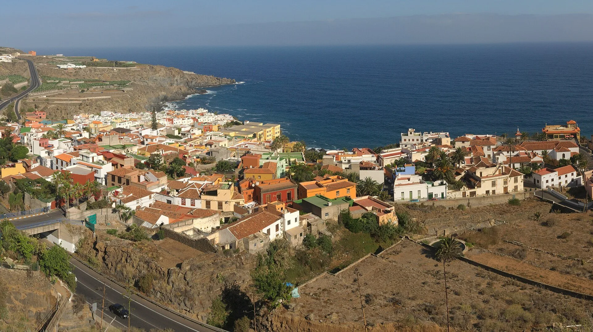
© Javier Sanchez Portero · CC BY-SA 3.0 5 min read
Towns near Icod: north Tenerife, town by town
© Mike Peel . · CC BY-SA 4.0 2 min read
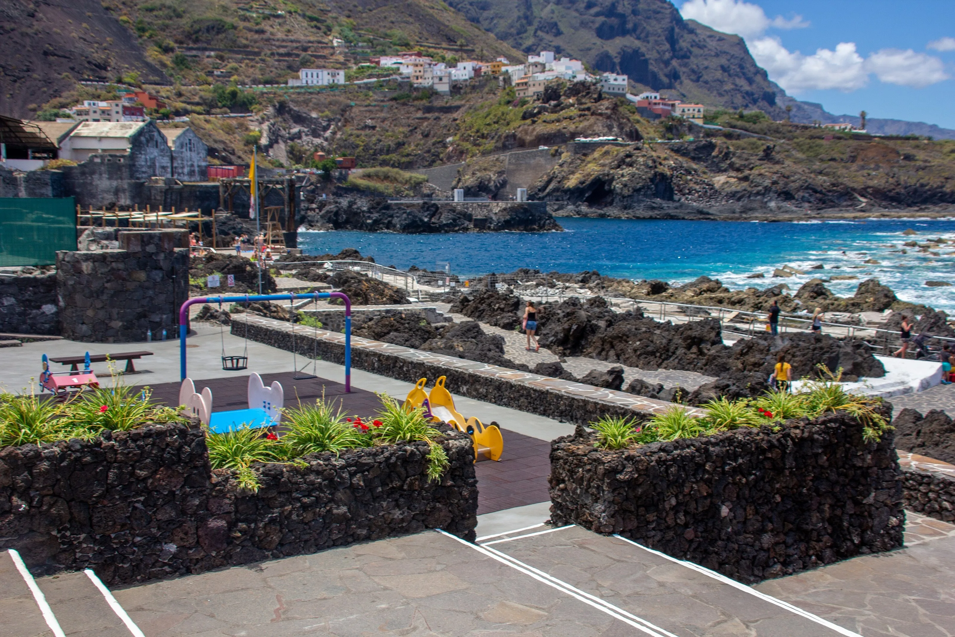
Garachico, the town a volcano buried
© Mataparda · CC BY 3.0 2 min read
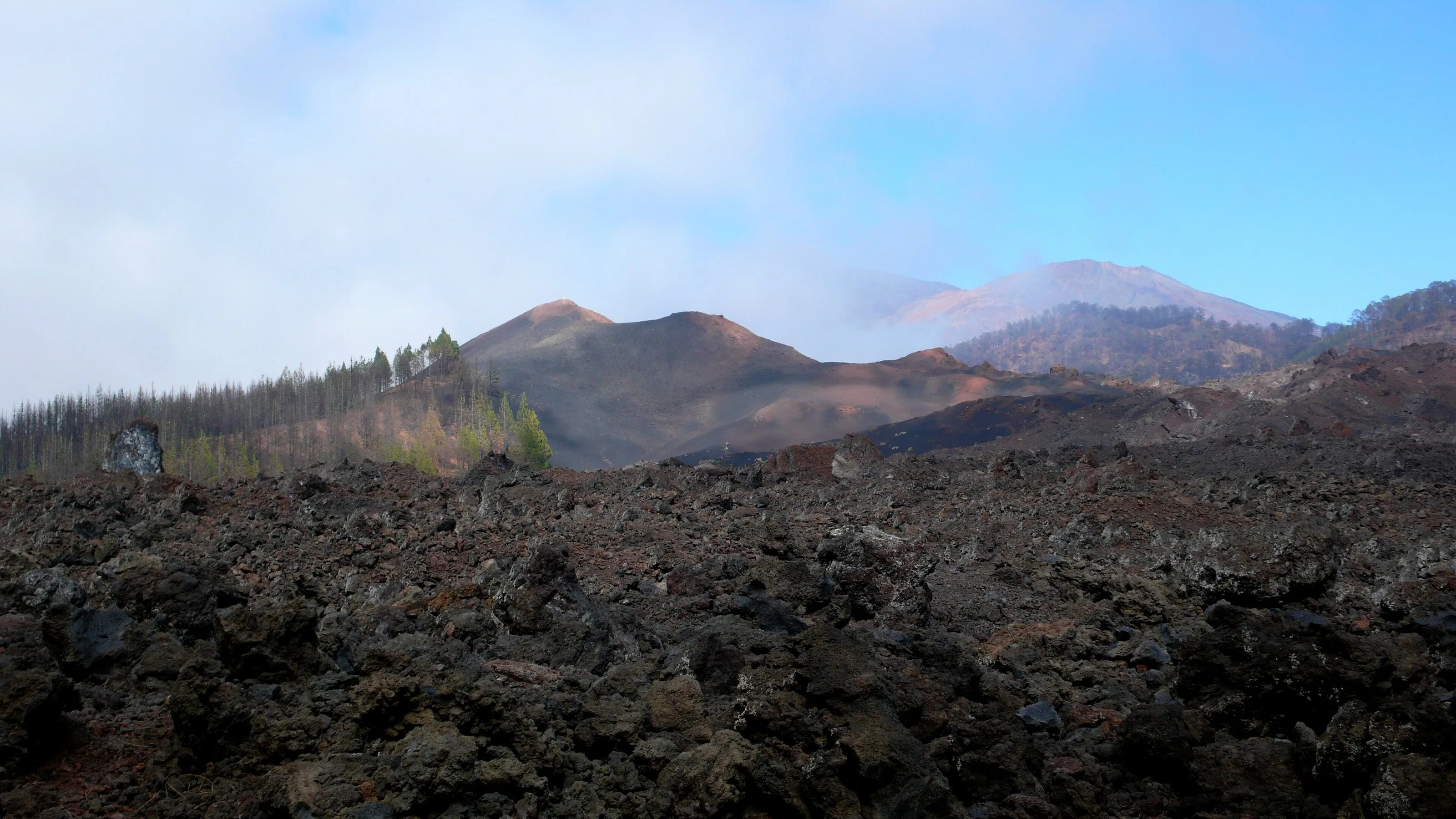
Chinyero: walking on the last eruption
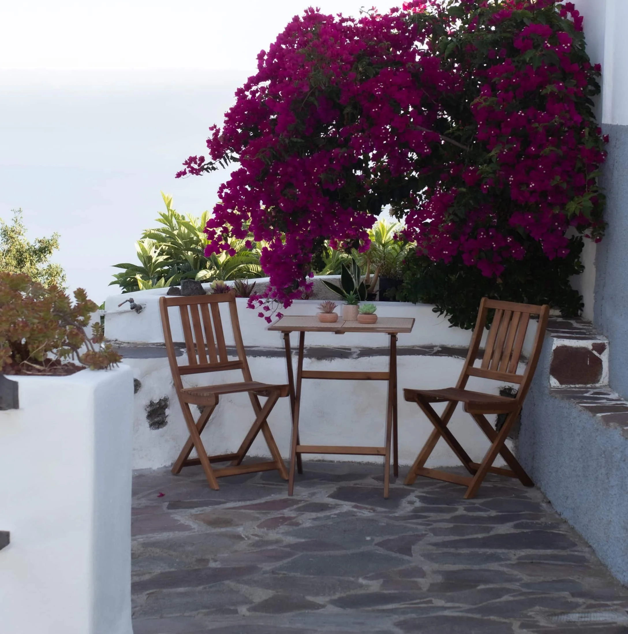
Finca Julia · Icod de los Vinos
And at the end of the day,
the terrace.
An old Canarian house on the hillside, with the Atlantic in front. Availability and price are on the official Airbnb listing.