Santiago del Teide · What to see
Santiago del Teide (pueblo)
A hillside village at around 900 metres, in the old Valle de Santiago, surrounded by lava flows and plots of almond trees, fig trees and vines. The parish church of San Fernando Rey was founded in 1679 through Fernando del Hoyo y Solórzano; it holds 18th-century images and has a half-orange dome. The almond trees blossom in winter, trails link the village with Arguayo (SL-TF 60) and Puerto Santiago (PR-TF 65), and bus route 355 runs to Masca.
- 21 min · 18.3 kmFrom Icod old town
- Half a dayIt takes
- Santiago del TeideMunicipality
- No record that it is neededBooking
28.2977° N · 16.8159° O
Checked 2026-10-24· official source
01Practical details
- Altitude of the village
- approximately 900 metres
- San Fernando Rey parish church
- founded in 1679
- SL-TF 60 trail
- Santiago del Teide – Arguayo, 9 km
- PR-TF 65 trail
- to Puerto Santiago, 8 km
- Bus to Masca
- TITSA route 355
02Warnings from the official source
The PR-TF 65 trail to Puerto Santiago crosses very sunny, exposed ground: carry water and sun protection.
03Around
What you have nearby
Ordered by real distance between coordinates, not by our preference.
Sendero Erjos – Monte del Agua
A loop from Erjos that first follows the PR-TF 51 to the Charcas de Erjos, ponds lying in old aggregate quarries worked in the 1970s and 1980s, then heads into the Monte del Agua laurel forest via Fuente de Los Loros. Along the way there are views of the ponds' natural amphitheatre, Mount Teide and the Santiago del Teide landscape. The return to Erjos is on the PR-TF 52, and the final stretch shares its route with the Monte del Agua self-guided trail.
Camino del Barranco de Masca
A one-way 5 km descent, around four hours, through a deep ravine to the jetty, with a compulsory boat back. Hard going, uneven ground and steps.
Caserío de Masca
A hamlet in Teno Rural Park, at about 650 metres, whose houses sit along ridges between very deep ravines; it is listed as a Site of Cultural Interest in the historic-ensemble category. Cobbled lanes and terraces connect stone-and-timber houses, a small 18th-century church and the Casa de los Avinculados in the Caserío de Piedra, and the village has an ethnographic museum and a craft centre. For a view of the whole hamlet from above, the Mirador de Cherfe is on the road from Santiago del Teide.
Parque Rural de Teno
The massif at Tenerife's north-western tip, built from rocks between 6 and 7 million years old: ancient sea cliffs left inland by later eruptions, the Los Gigantes cliffs at its south-western edge and slopes criss-crossed by volcanic dykes to the south. Monte del Agua y Pasos holds more than 600 hectares of cloud forest. Some villages were cut off until roads arrived in the 1970s and still keep their traditional architecture and farming. The Los Pedregales visitor centre on the El Palmar road is the park's information office and the starting point of the El Palmar–Baracán loop.
Plans
Plans that pass through here
Experiences and itineraries that share places with this page.
- PlanGarachico at duskThe town once the coaches leave: a walk through the listed old quarter, the seafront with the pools below, and dinner at one of its twenty-nine restaurants.
- PlanA glass of wine before heading backA winery of the Ycoden-Daute-Isora DO with a booked visit, the wine museum on Plaza de la Pila and dinner in the old town. Wine afternoon, ten minutes away.
- PlanA slow-breakfast morningThe only breakfast in the district with published hours, Garachico's farmers' market on a Sunday, and back to the house with the shopping. No hurry.
- PlanA morning of mystery in IcodA 27,000-year-old lava tube, a tree whose age nobody knows and the port the lava swallowed in 1706. For travellers who come looking for stories.
Official sourceChecked on Next check
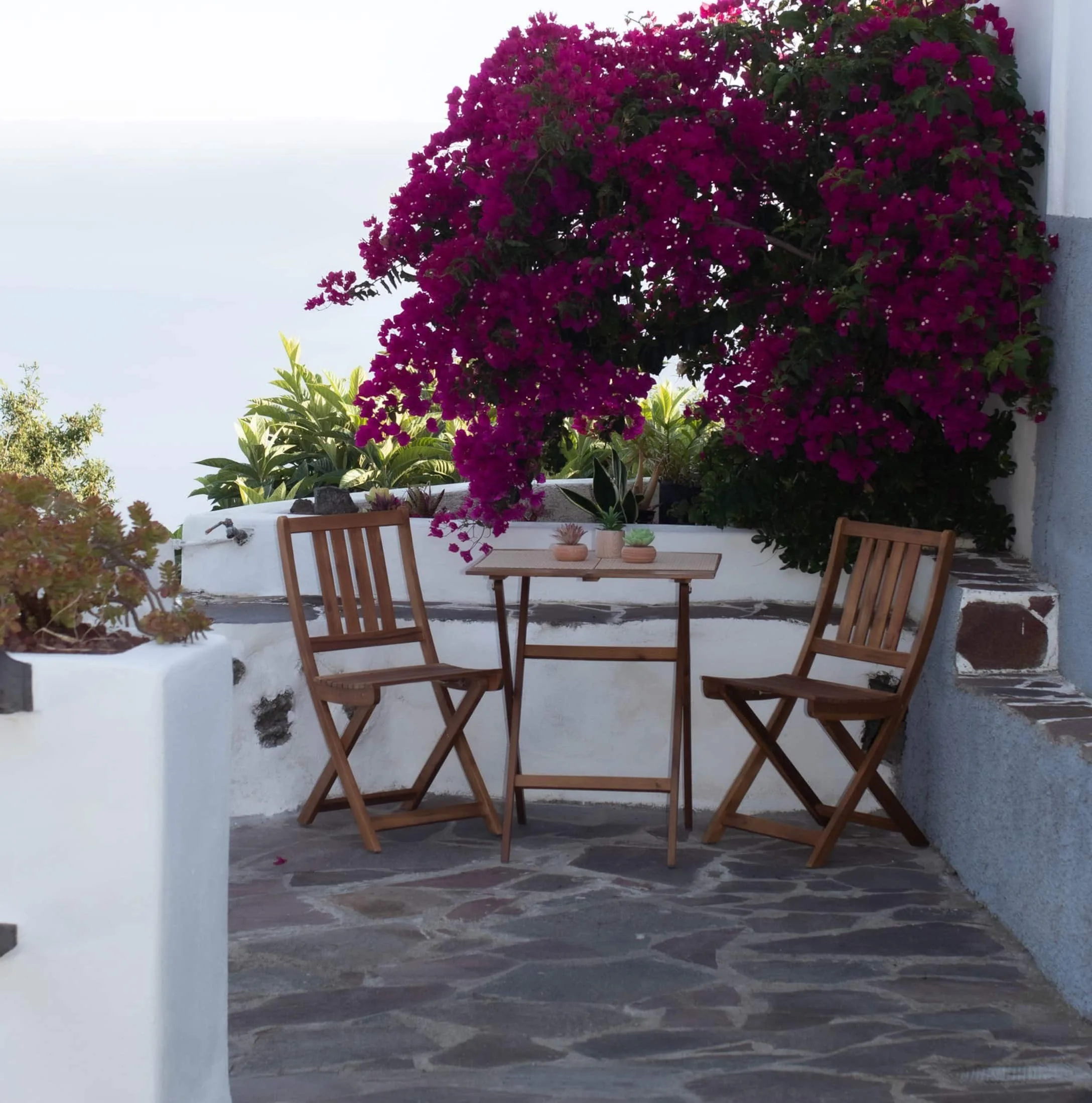
Finca Julia · Icod de los Vinos
And at the end of the day,
the terrace.
An old Canarian house on the hillside, with the Atlantic in front. Availability and price are on the official Airbnb listing.