Guide · Guide to north Tenerife
What to see in Buenavista del Norte, the last town before Teno
What to see in Buenavista del Norte: the old town, the Los Remedios church, the Casa de la Viuda, the Triana ravine, Las Arenas beach and El Palmar.
- 6 minread
- 3 November 2026checked
- 18sources
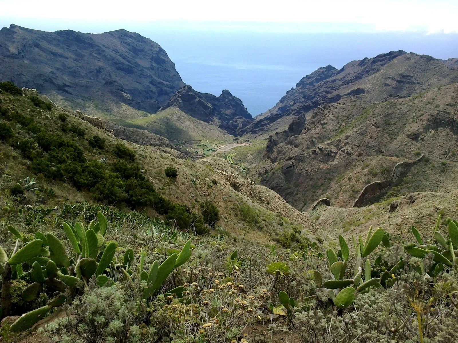
Buenavista del Norte is the last town on the north side of Tenerife, at the island's north-western tip, with the Teno massif behind it. It dates from the sixteenth century and its old town is a historic ensemble (Conjunto Histórico), listed as a Site of Cultural Interest since 2005. The essentials are all on foot: the Los Remedios square and church, the Casa de la Viuda, the former San Francisco convent, the San Sebastián chapel and the Triana ravine with its old wash-houses. Below lie Las Arenas beach and Charco Roque. Above sits the hamlet of El Palmar.
The old town and Plaza de los Remedios
The listing covers its street layout and traditional houses, with buildings from the sixteenth and seventeenth centuries, according to Turismo de Islas Canarias.
Start in Plaza de los Remedios. It is the town's main meeting place, ringed by traditional Canarian architecture and by the buildings of the main local institutions. It was paved in the mid-twentieth century. At its centre stands a bandstand that hosts the main musical performances.
The church of Nuestra Señora de los Remedios
It faces the square and was built between 1513 and 1518, then enlarged many times. The Virgen de los Remedios is the municipality's patron saint. In 1996 a fire swept through the church and part of the town's most valuable art was lost. The image of the Virgin dated from 1733; a year after the fire it was replaced by a work by Luis González Rey, from Cádiz. Today the church is restored and open to visitors. No official source gives opening hours.
Casa de la Viuda, the convent and the chapel
The Casa de la Viuda stands at Calle El Puerto 63, right in the old town. It dates from the second half of the seventeenth century. It has two storeys, wooden galleries, a central courtyard and a four-sided roof of Arab tiles. Today it hosts cultural, artistic and community events.
The former San Francisco convent, at Calle San Francisco 2, is a notable example of Franciscan building in the Canaries. Look at the columns either side of the entrance and the triangular pediment bearing the order's emblem. The San Sebastián chapel, on the square of the same name, was built by local people in the sixteenth century. It fell into such disrepair that there was an attempt to pull it down; the parishioners rebuilt it plainly in the nineteenth century.
The Triana ravine and the wash-houses
The Triana ravine is the green lung of the old town. You enter from Plaza de los Remedios or from the Triana district, by the school of the same name. According to Turismo de Tenerife, some of the founders were Andalusians who named it after the Guadalquivir, which it reminded them of. Because water ran through it for centuries, its wash-houses became a meeting place.
The La Fuente and San Juan de Taco estates
Hacienda La Fuente, in La Vega, is in Turismo de Tenerife's view one of the finest manor houses in the Canaries. It belonged to Juan Méndez 'el Viejo', a figure of the conquest. It grew sugar cane first and malvasía vines later. Its battlemented towers stand out. Beside it is the Santa Isabel chapel, also built by Méndez, where he, his wife and the last owner, the Count of Siete Fuentes, are buried.
Hacienda San Juan de Taco, on Camino Finca los Marcos, was built by Juan del Hoyo Calderón and once grew malvasía. It has an L-shaped plan, a stone staircase and dressed-stone windows. No official source says whether the estates can be visited inside, so do not count on it.
The coast: Las Arenas, Charco Roque and El Fraile
The municipality's coastline is full of coves. Las Arenas beach is reached by the road towards Punta de Teno, heading for the Buenavista golf course. It is about 150 metres long, of pebbles and black sand. The sand comes and goes: the sea takes it in winter and brings it back in summer. There is parking for over 100 cars, bars and restaurants, and a municipal pool.
A promenade links Las Arenas with El Fraile beach. Between the two lies Charco Roque: mid tide suits it best, the swell is moderate and there is no lifeguard.
Uphill: El Palmar and Las Portelas
El Palmar is a hamlet about eight kilometres from the town centre, between 300 and 500 metres up, with around 800 residents. You will see traditional houses and stone terraces, and a network of trails starts there. The TF-436 links Las Portelas and Masca. At its km 12 is the Altos de Baracán viewpoint, looking over the Los Carrizales ravine and the El Palmar mountain and valley. It is where you notice the change in weather between the northern and southern slopes.
Punta de Teno, Masca and Teno Alto
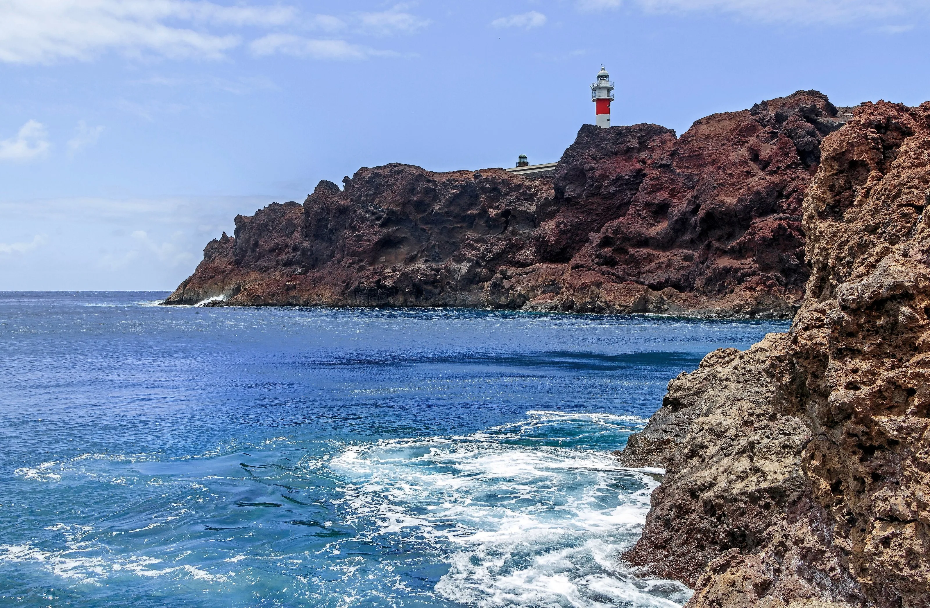
Eighty per cent of the municipality is protected land; Teno Rural Park stands out among those areas. Punta de Teno, the island's westernmost point, and the hamlets of Masca and Teno Alto also belong to Buenavista. Each has its own access rules, which we cover in their guides.
Punta de Teno and Masca: access and rules
Teno Alto: trails and how to get there
Festivities and 2026 holidays
Buenavista's romería, a country pilgrimage-festival, is usually held in May, with decorated carts, traditional dress and folk music, according to Turismo de Tenerife. The date changes every year, so confirm it before you go. The two local holidays in 2026 were 24 August, San Bartolomé, and 26 October, Nuestra Señora de los Remedios.
- Old town
- Historic ensemble, Site of Cultural Interest since 2005
- Los Remedios church
- Plaza de los Remedios · 1513–1518 · fire in 1996, restored
- Casa de la Viuda
- Calle El Puerto 63 · second half of the 17th century
- Former San Francisco convent
- Calle San Francisco 2 · Franciscan architecture
- Las Arenas beach
- About 150 m · pebbles and black sand · parking
- Local holidays 2026
- 24 August and 26 October
From Finca Julia
Buenavista lies west of Icod, beyond Garachico and Los Silos. A simple plan: the old town, church and Triana ravine in the morning, then Las Arenas beach or Charco Roque afterwards if the sea allows. With time to spare, head up to El Palmar or on towards Teno.
What to see in Los Silos, on the way
Natural pools in north Tenerife
Frequently asked questions
What should you not miss in Buenavista del Norte?
The Los Remedios square and church, the Casa de la Viuda and the Triana ravine, all inside the old town. With more time, Las Arenas beach and El Palmar.
Where can you swim in Buenavista del Norte?
At Las Arenas beach, of pebbles and black sand that shifts with the seasons, or at Charco Roque, between Las Arenas and El Fraile. The pool has no lifeguard; go at mid tide.
When are Buenavista del Norte's festivities?
The romería is usually in May, on a different date each year. In 2026 the local holidays were 24 August, San Bartolomé, and 26 October, Nuestra Señora de los Remedios.
Finca Julia is a few minutes from all of this.
Check availability on Airbnb — Opens the official Airbnb listing in a new tabSources
- Turismo de Tenerife — Buenavista del Norte ↗
- Turismo de Tenerife — Buenavista del Norte (inglés) ↗
- Turismo de Tenerife — Centro histórico de Buenavista del Norte ↗
- Turismo de Tenerife — Plaza de los Remedios ↗
- Turismo de Tenerife — Iglesia de Nuestra Señora de los Remedios ↗
- Turismo de Tenerife — Casa de la Viuda ↗
- Turismo de Tenerife — Ex convento de San Francisco ↗
- Turismo de Tenerife — Ermita de San Sebastián ↗
- Turismo de Tenerife — Barranco de Triana ↗
- Turismo de Tenerife — Hacienda La Fuente ↗
- Turismo de Tenerife — Hacienda San Juan de Taco ↗
- Turismo de Tenerife — El Palmar ↗
- Turismo de Tenerife — Mirador de Altos de Baracán ↗
- Turismo de Tenerife — Playa de Las Arenas ↗
- Turismo de Islas Canarias — Buenavista ↗
- Turismo de Islas Canarias — Charco Roque ↗
- Cabildo de Tenerife — Catálogo de Bienes de Interés Cultural ↗
- Gobierno de Canarias — Festivos de los municipios de Canarias para 2026 ↗
Updated on: · Reviewed on:
This guide is written from a house in Icod.
Finca Julia is a Canarian house for four in the hills above the town. Availability and price are on the official listing.
Plans
Plans that pass through here
Experiences and itineraries that share places with this page.
- DayA day through the villages of the Isla BajaThe listed old quarters of Los Silos and Buenavista, El Tanque's 1728 church, a viewpoint over the Isla Baja, a rock pool and Garachico on the way back.
- PlanFrom the volcano to the AtlanticUp to Teide in the morning, the whole island from La Rambleta at 3,555 metres, and down to swim at San Marcos in the afternoon. Only possible from the north.
- PlanBlack, blue and lavaThe black sand of San Marcos, the rock pools of El Caletón and the badlands of Chinyero: the coast and the volcano that made it, on a dry day without a swell.
- PlanA morning of mystery in IcodA 27,000-year-old lava tube, a tree whose age nobody knows and the port the lava swallowed in 1706. For travellers who come looking for stories.
Keep reading
The whole guide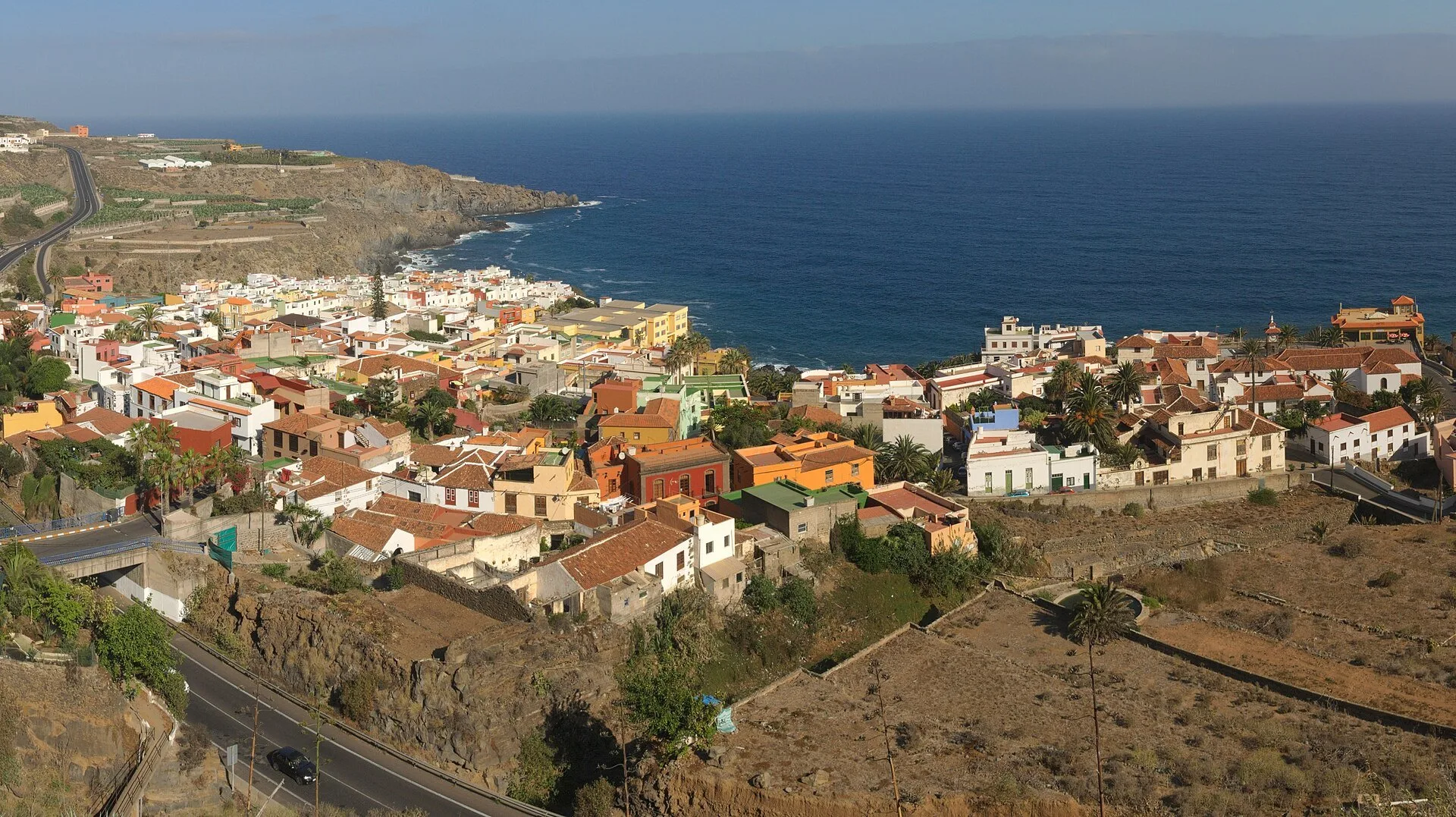
© Javier Sanchez Portero · CC BY-SA 3.0 5 min read
Towns near Icod: north Tenerife, town by town
© rene boulay · CC BY-SA 3.0 5 min read
What to see in Los Silos, between Aregume mountain and the sea
© H. Zell · CC BY-SA 3.0 2 min read
Punta de Teno and Masca: how access works now
Finca Julia · Icod de los Vinos
And at the end of the day,
the terrace.
An old Canarian house on the hillside, with the Atlantic in front. Availability and price are on the official Airbnb listing.