Guide · Guide to north Tenerife
Charco del Viento: getting there and when to swim
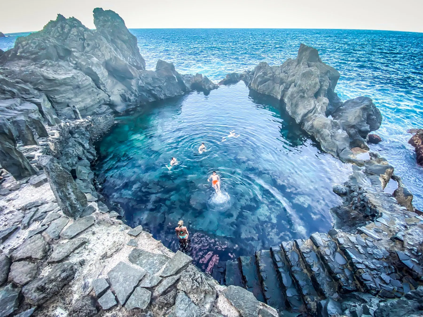
The north's most photographed rock pool, minutes from Icod. Access changed in 2025, there is no lifeguard, and the swell decides whether you swim.
- 2 minread
- 3 November 2026checked
- 6sources
It is the photograph everyone has seen of northern Tenerife: black lava flows running into the sea with a pool of clear water between them. It is in La Guancha, the municipality next to Icod on the east side, minutes from the midlands. Now the part the photographs leave out.
Access changed in 2025
La Guancha council reorganised traffic in the area: the usual approach from the TF-5, at Lomo La Bautista, became one-way downhill, and the exit runs via the Los Celajes track, which was paved in 2024 and remains open both ways.
In practice: go down the way the signs tell you and do not try to come back up the way you went down. This comes from local press, not an official bulletin, so trust the signs over us. What the Canary Islands tourist board does describe is the route itself: from the road towards Icod, a signposted tarmac link named after the pool runs through the banana plantations to a large car park, and renovated steps lead down to the pools.
When to go
- With a calm sea. That is the one non-negotiable condition. Summer tends to be quieter; from November to March the north gets serious.
- At low tide. That is the tide the Canary Islands tourist board recommends. At high tide the pool fills with swell and stops being a pool.
- Early or late. The car park is large, but the Canary Islands tourist board calls it the busiest bathing spot in La Guancha.
- Shoes with grip. You walk on lava and the rock at the water's edge is slippery. Flip-flops are a bad idea.
If the sea is not playing
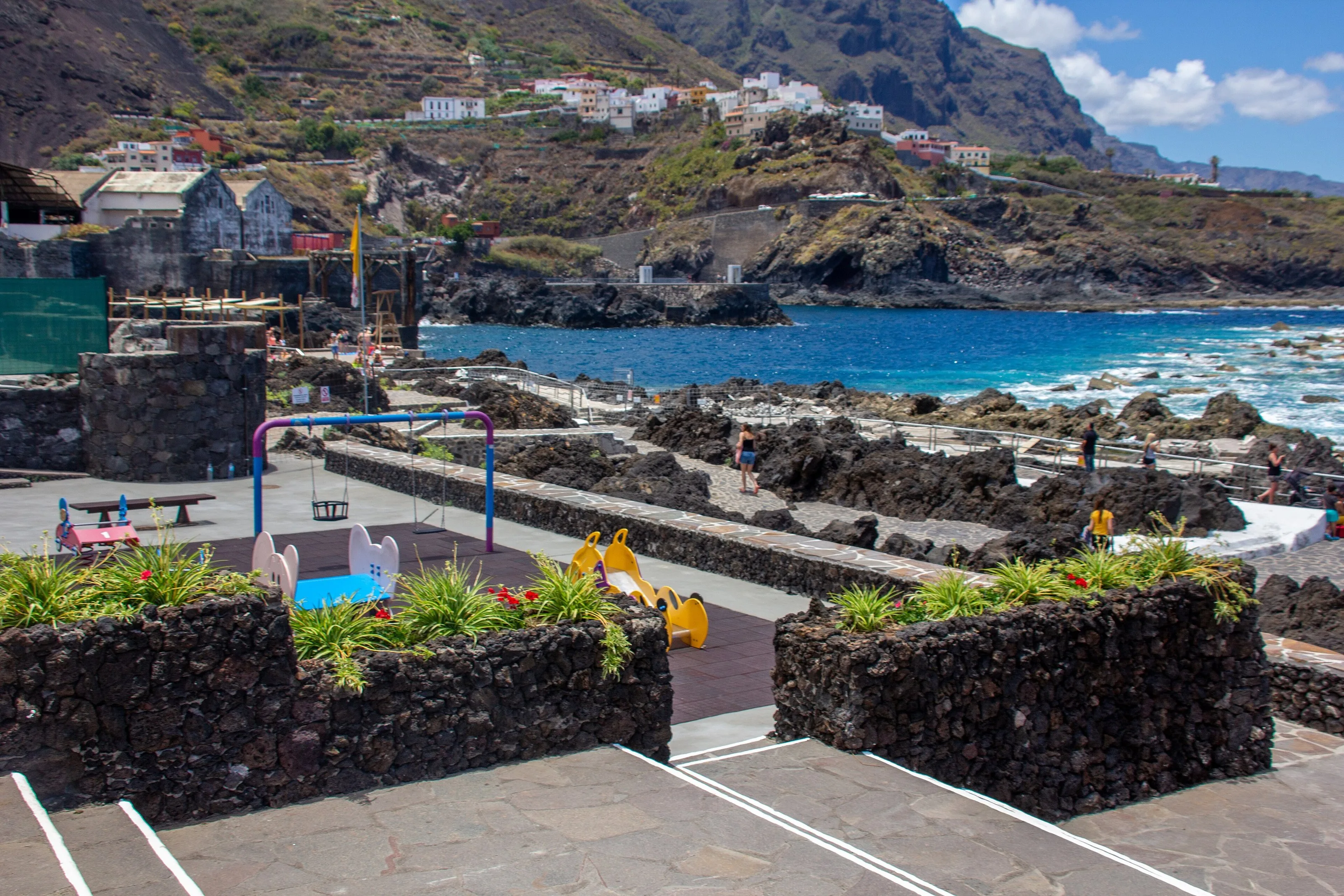
Two alternatives at the same distance, with facilities. San Marcos is Icod's cove: black sand, sheltered from the heavy swell by its own shape. El Caletón, in Garachico, are the pools the 1706 eruption left where the lava met the sea: maintained, linked to the promenade, and rather busier.
Before you head to the coast
The sea today: where to check it
In the north the sea matters more than the sun: a clear day can still bring a heavy swell. AEMET publishes sky, wind, swell, water temperature and UV index for each beach.
Forecast by beach (AEMET)
- La BallenitaBuenavista del Norte — opens AEMET in a new tab
- El GomeroLos Silos — opens AEMET in a new tab
- El CaletónGarachico · 8 km from the house — opens AEMET in a new tab
- San MarcosIcod de los Vinos · 7 km from the house — opens AEMET in a new tab
- Santo DomingoLa Guancha — opens AEMET in a new tab
- Las AguasSan Juan de la Rambla — opens AEMET in a new tab
- El SocorroLos Realejos — opens AEMET in a new tab
- JardínPuerto de la Cruz — opens AEMET in a new tab
- MartiánezPuerto de la Cruz — opens AEMET in a new tab
Sea, warnings and water quality
- AEMET · Predicción marítima de Canarias
Swell and wind waves for the whole Canary coast, in hourly maps.
- AEMET · Avisos meteorológicos
Yellow, orange and red warnings, including coastal ones.
- 112 Canarias
Coastal alerts and pre-alerts declared by the Government of the Canary Islands.
- Puertos del Estado · PORTUS
Buoys and wave forecasts: the technical source many apps draw on.
- Náyade · Ministerio de Sanidad
Bathing water quality for each beach, by season.
- Windy (no oficial)
Live wave and wind map centred on San Marcos. Handy on a phone.
Links checked on 2026-09-24. With a red flag or a coastal warning, do not swim even if the water looks calm from above.
Finca Julia is a few minutes from all of this.
Check availability on Airbnb — Opens the official Airbnb listing in a new tabSources
- Turismo de Canarias — Charco del Viento ↗
- Hello Canary Islands — Charco del Viento ↗
- Turismo de Tenerife — Charco del Viento ↗
- Cabildo de Tenerife — La Guancha ↗
- Ayuntamiento de La Guancha ↗
- Diario de Avisos — cambios en el acceso (2025) ↗
Updated on: · Reviewed on:
This guide is written from a house in Icod.
Finca Julia is a Canarian house for four in the hills above the town. Availability and price are on the official listing.
Plans
Plans that pass through here
Experiences and itineraries that share places with this page.
- PlanBlack, blue and lavaThe black sand of San Marcos, the rock pools of El Caletón and the badlands of Chinyero: the coast and the volcano that made it, on a dry day without a swell.
- DayA day that children can takeBlack sand in a sheltered cove, a park you walk in an hour, an indoor butterfly house and natural pools with proper access.
- PlanFrom the volcano to the AtlanticUp to Teide in the morning, the whole island from La Rambleta at 3,555 metres, and down to swim at San Marcos in the afternoon. Only possible from the north.
- PlanA morning with children in IcodEight hundred butterflies under glass, a dragon tree you can do in twenty minutes and a beach with showers and black sand. Three stops within six minutes.
Keep reading
The whole guide© Dieglop · CC BY-SA 4.0 6 min read
What to see in La Guancha, from the slopes of Teide to the Charco del Viento
© Jules Verne Times Two · CC BY-SA 4.0 2 min read
Beaches near Icod de los Vinos: black sand and rock pools
© Mike Peel . · CC BY-SA 4.0 2 min read
Garachico, the town a volcano buried
Finca Julia · Icod de los Vinos
And at the end of the day,
the terrace.
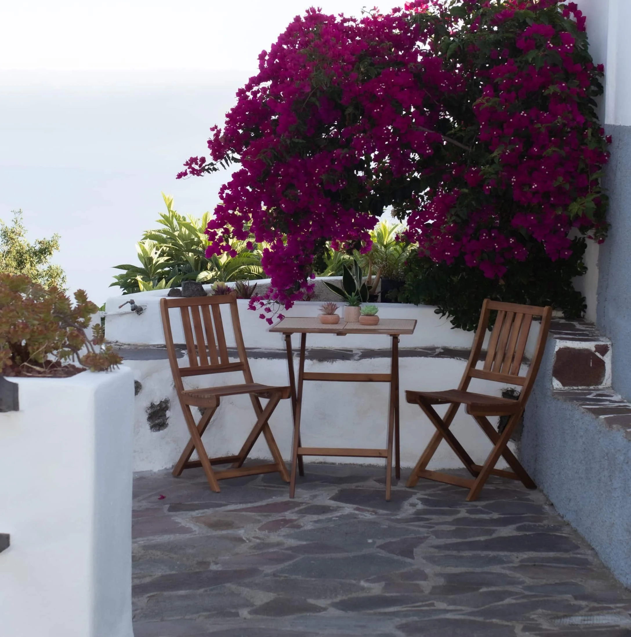
An old Canarian house on the hillside, with the Atlantic in front. Availability and price are on the official Airbnb listing.