Garachico · Hiking
PR-TF 43.5 Sendero circular Arenas Negras
A loop of about 11.7 km around the Arenas Negras volcano, also known as the Garachico volcano, whose 1706 eruption destroyed the town of Garachico. The landscape alternates volcanic ash and black lava flows with pine forest, within the Chinyero Special Nature Reserve. It starts from the Arenas Negras picnic area above Garachico and can be walked in either direction.
- 20 min · 10.7 kmFrom Icod old town
- Half a dayIt takes
- GarachicoMunicipality
- No record that it is neededBooking
28.3194° N · 16.7572° O
Checked 2026-10-24· official source
01Practical details
- Code
- PR-TF 43.5
- Length
- 11.66 km
- Cumulative elevation
- 486.92 m ascent / 486.92 m descent
- Max / min altitude
- 1,389.46 m / 1,225.76 m
- Estimated time
- 1 h 55 min
- Difficulty
- Low (MIDE)
- Type
- Loop
- Start and finish
- Arenas Negras picnic area, Pista General Arenas Negras – Garachico
- Municipalities
- El Tanque and Garachico
- Protected areas
- Chinyero Special Nature Reserve; Corona Forestal Natural Park
- Public transport
- No service in the area
- Parking
- Very limited at the picnic area
- Permit
- Free access for visitors, no booking required
02Warnings from the official source
Take extra care when crossing the malpaís (lava field) sections.
There is no public transport and parking at the picnic area is very limited.
03Around
What you have nearby
Ordered by real distance between coordinates, not by our preference.
Reserva Natural Especial del Chinyero
The site of Tenerife's last eruption, in 1909. The reserve covers 2,739 ha along the Abeque ridge and is an outstanding example of plant colonisation over recent lava fields. A network of PR-TF 43 trails lets you pick your distance.
PR-TF 51 San José de Los Llanos – Punta de Teno
A long 22.6 km traverse of Teno Rural Park from east to west, from the San José de Los Llanos picnic area to the Punta de Teno road. It passes the Charcas de Erjos ponds, one of the island's few wetlands, stretches of cloud forest, the Baracán viewpoint and the hamlet of Los Bailaderos (Teno Alto) before descending towards the coast. Tenerife ON rates it as high difficulty.
PR-TF 52 Erjos – Las Portelas
A linear walk of almost 11 km through the laurel forest of Teno Rural Park. It leaves Erjos with views of Mount Teide and heads west along the eastern side of the El Palmar valley to the hamlet of Las Portelas, finishing among terraced farmland. There are buses at both ends, so it can be done without returning to the car.
Sendero Erjos – Monte del Agua
A loop from Erjos that first follows the PR-TF 51 to the Charcas de Erjos, ponds lying in old aggregate quarries worked in the 1970s and 1980s, then heads into the Monte del Agua laurel forest via Fuente de Los Loros. Along the way there are views of the ponds' natural amphitheatre, Mount Teide and the Santiago del Teide landscape. The return to Erjos is on the PR-TF 52, and the final stretch shares its route with the Monte del Agua self-guided trail.
Plans
Plans that pass through here
Experiences and itineraries that share places with this page.
- PlanBlack, blue and lavaThe black sand of San Marcos, the rock pools of El Caletón and the badlands of Chinyero: the coast and the volcano that made it, on a dry day without a swell.
- PlanA day on Guayota's volcanoThe volcano the Guanches linked to hell, the rocks on the 1,000-peseta note and the Eggs of Teide. A full day, on a clear day.
- PlanFrom the volcano to the AtlanticUp to Teide in the morning, the whole island from La Rambleta at 3,555 metres, and down to swim at San Marcos in the afternoon. Only possible from the north.
Official sourceChecked on Next check
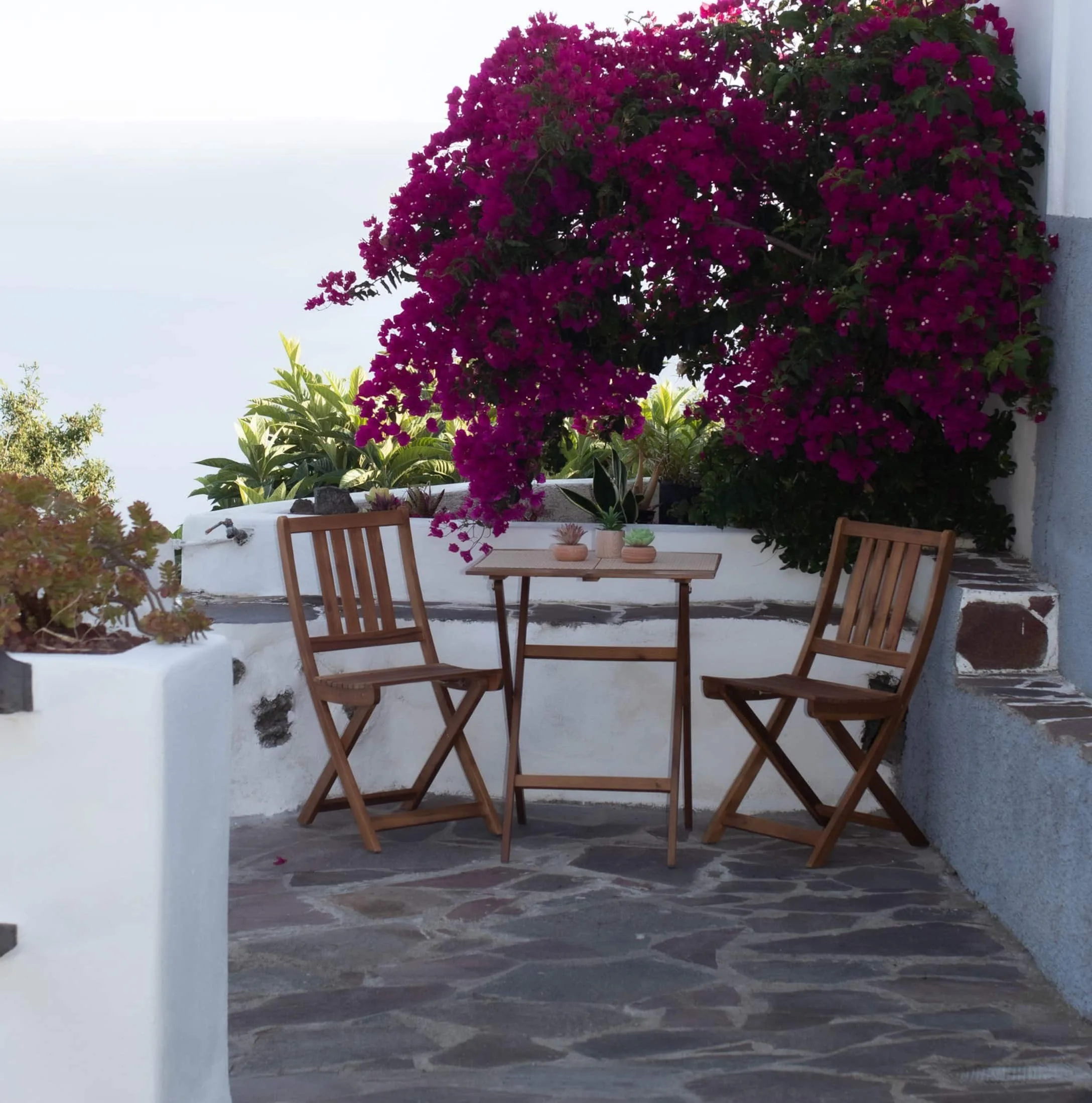
Finca Julia · Icod de los Vinos
And at the end of the day,
the terrace.
An old Canarian house on the hillside, with the Atlantic in front. Availability and price are on the official Airbnb listing.