Los Realejos · Beaches and rock pools
Playa de El Socorro
A 400-metre beach of fine grey volcanic sand on the Los Realejos coast, the busiest in the municipality. It is a well-known surf spot that hosts surf and bodyboard championships, mostly from July to September. You can drive right down to the sand from a signposted turn-off near the Mirador de San Pedro.
- 21 min · 16.2 kmFrom Icod old town
- Half a dayIt takes
- Los RealejosMunicipality
- No record that it is neededBooking
28.3943° N · 16.6030° O
Checked 2026-10-24· official source
01Practical details
- Length
- 400 m
- Width
- 60 m
- Surface
- Fine grey volcanic sand
- Access
- By car right to the beach (signposted turn-off near Mirador de San Pedro) or on foot
- Parking
- Over 200 spaces
- Public transport
- Urban bus
- Disabled access
- Yes
- Facilities
- Toilets, showers, bins, beach bar, lifeguard post and surf area
- Championships
- Surf and bodyboard, usually in July, August and September
02Warnings from the official source
Currents and strong waves: take extra care if you don't know the area.
Waves break well offshore and surfers and swimmers share the water.
03Around
What you have nearby
Ordered by real distance between coordinates, not by our preference.
Mirador de San Pedro
Coastal viewpoint in Los Realejos beside the TF-5 (km 41) and the San Pedro Apóstol chapel, near San Vicente. It looks over the palm grove of the Rambla de Castro Protected Landscape, the banana plantations of the Rambla del Mar, the Hacienda de los Castro and the old La Gordejuela water-pumping house. The Rambla de Castro and Castro beach are a short distance away.
Mirador de El Lance
A viewpoint beside Icod el Alto, at km 5 of the TF-342, the road that winds down to Los Realejos. It takes in the Orotava Valley and its three municipalities: Los Realejos, Puerto de la Cruz and La Orotava. A bronze statue of the Guanche king Bentor by Carmen Luis León (1996) stands here; tradition holds that he threw himself from this spot rather than be taken by the Castilian troops.
Sendero Rambla de Castro
The most rewarding coastal walk in the north: 4.36 km each way, easy going, no serious climbs, through palm groves, cliffs and heritage — the Castro family manor, the San Pedro viewpoint and the ruins of the Gordejuela water lift, home to the first steam engine used to raise water in Tenerife.
Paisaje Protegido de Los Campeches, Tigaiga y Ruiz
A 691-hectare protected area between Los Realejos and San Juan de la Rambla, made up of deep ravines such as Barranco de Ruiz, coastal cliffs around 500 m high and former sea cliffs left inland by later eruptions. Tree heath covers much of the slope, with cardón-and-tabaiba scrub lower down and cloud forest from about 600 m; potatoes, wheat and fruit are still grown. It is a Special Protection Area for birds, and its most notable wildlife includes the laurel and Bolle's pigeons.
Plans
Plans that pass through here
Experiences and itineraries that share places with this page.
- PlanFrom the volcano to the AtlanticUp to Teide in the morning, the whole island from La Rambleta at 3,555 metres, and down to swim at San Marcos in the afternoon. Only possible from the north.
- PlanBlack, blue and lavaThe black sand of San Marcos, the rock pools of El Caletón and the badlands of Chinyero: the coast and the volcano that made it, on a dry day without a swell.
- PlanA morning with children in IcodEight hundred butterflies under glass, a dragon tree you can do in twenty minutes and a beach with showers and black sand. Three stops within six minutes.
Official sourceChecked on Next check
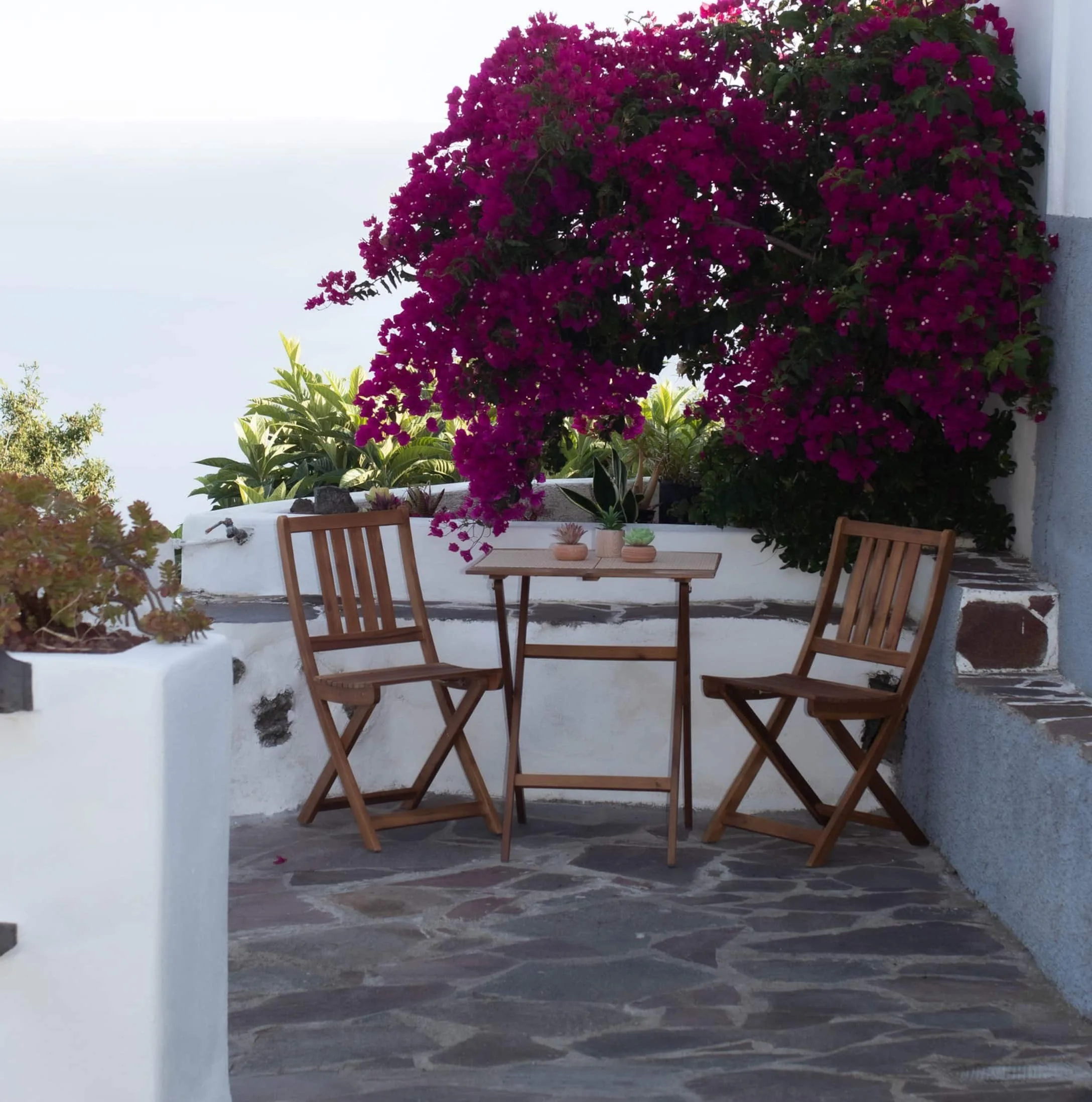
Finca Julia · Icod de los Vinos
And at the end of the day,
the terrace.
An old Canarian house on the hillside, with the Atlantic in front. Availability and price are on the official Airbnb listing.